@Arend.iwema I think the subscriptions page pretty much tells you all you need to know
There are 2 parts to MRA - the "MRA Routeplanner" which is the website & the "MyRoute-app - MRA Navigation Next" which is the mobile navigation app
If you click any of the compare buttons you can see a detailed list of all the features available with each subscription
[image: 1781360086782-ad7b143b-64f4-4f98-9eb3-5400b7a2fd44-image.jpeg]
Your normal MRA account gives you free access to the website MRA RoutePlanner with all the functionalities of the "Basic" plan & of course access to this forum
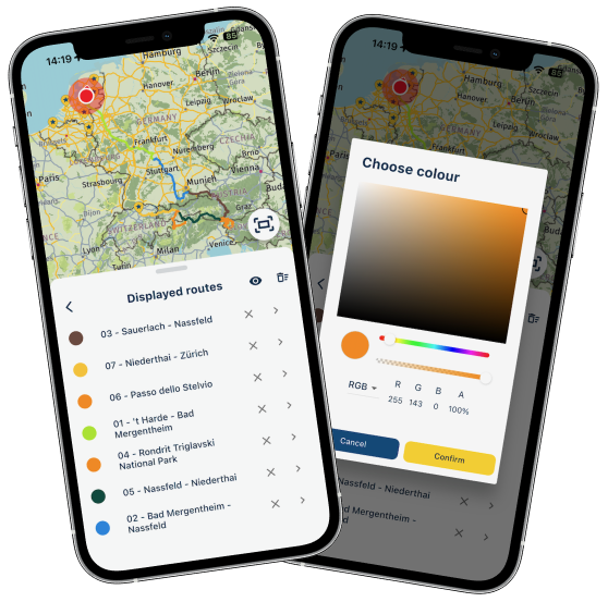
If you just want to navigate then the MyRoute-app navigation next app is all that you need to subscribe too
If you take the "MyRoute-app Navigation Next" subscription it also allows you access to the "Here" routing calculator on the web site, this routing calculator is what is used in the Navigation app
[image: 1781360747171-e13260b6-b780-4681-a9b6-f7b27a7ca848-image.jpeg]
If you open a route on the website & click on the menu bar "Toolkit" you can see some of the functions / abilities which are available with the different subscriptions "Silver, Gold"
[image: 1781360789894-de3f071a-23d6-4f19-978f-5f6df8a85b4c-image.jpeg]
If your serious about planning routes with MRA then the additional tools like "Reduce", "Reverse" & "Split" that are available with the Gold subscription are very very useful & I would highly recommend the Gold subscription
If you are patient, MRA often has subscription offers which significantly reduces the price to both the Gold & Navigation subscriptions