









Skip to content
  • New beta! 5.2.1 (480)

    [Beta] Announcements
    13
    2
    14 Votes
    13 Posts
    280 Views
    Marinus van Deudekom
    Patience seems to be a good quality, unfortunately I dont possess that
  • New roads visible in Google map but not Garmin Here

    [Export] Garmin
    3
    0 Votes
    3 Posts
    276 Views
    Guzzist
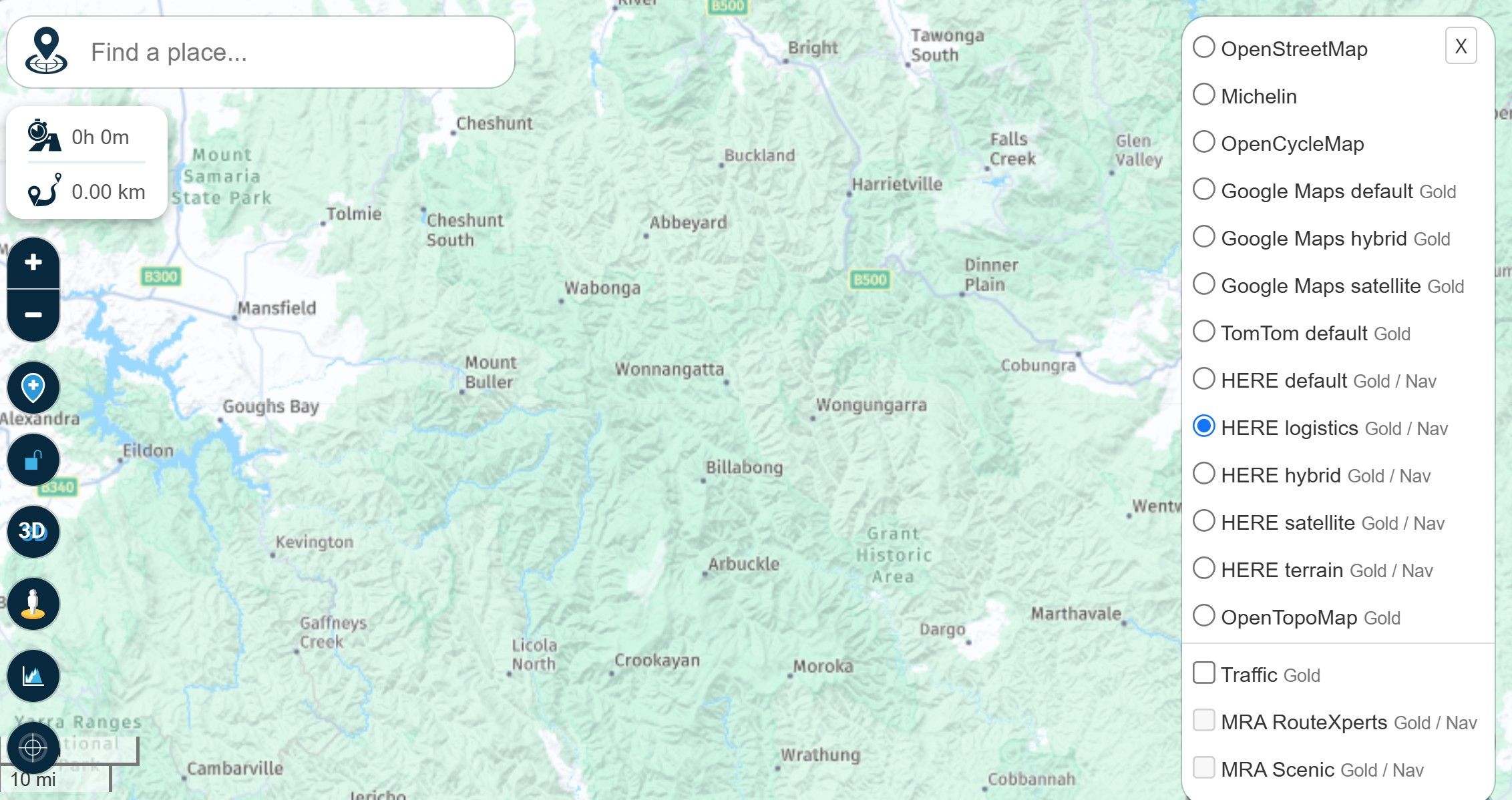
    @Simon-James-Hancock...if you wrote about "Google map" - do you mean google map layer in MRA rootplanner? You need to know: in map layers, you can select different ones; also google map. But this are only graphics for better information and doesn't have effects to route planning but in "options", you can select OSM, TomTom or HERE. This are different routing engines (with map data). You can plan a route by engine you prefer, then may switch to another engine to compare, if the route line is still the same. That's an advantage if you woul like to share your route to others, which uses different navigation devices. In your case - if you want to transfer your route to your Garmin device - you should use the HERE routing engine for planning (map layer doesn't matter). But please use enough waypoints, because after transmitting to your Garmin device, still the device is going to interpret your route. This can end up in a slightly different route in the Garmin device... [image: 1784130178963-1000004089.jpg] [image: 1784130200297-1000004087.jpg]
  • 0 Votes
    5 Posts
    342 Views
    Yannick_van_Vugt
    @Guzzist That's also why I mentioned a seperate indicator, when you add scheduled time, it also shows you with some extra information. Just like the OSM view has 3 icons next to the written information, this could be yet another item. The off-road icons or "skip" are used interchangeably, they should be globally the same and represent different things. Even though they currently do the same, they should show different color in navigating for example. I thought about creating yet another post, but only if this bug (where you also commented) is fixed.
  • 0 Votes
    3 Posts
    44 Views
    Cleo
    Had the same issue in 5.2.0
  • 1 Votes
    2 Posts
    170 Views
    Guzzist
    @Yannick_van_Vugt ...yes, I can reproduce it: in the segment setup it's not working. Only in the waypoint setup it works. I was not aware before, because if I plan for offroad, verry often route line is following pathes through the forest. Only sometimes, if the route line will not follow a path, I use the "offroad function" for a waypoint...
  • 0 Votes
    3 Posts
    211 Views
    Nick Carthew
    Under this heading in FAQs: How do I prevent diversions at ferries and roads that are not recognized?
  • Version 5.2.1 IOS - Altitude

    [Beta] Problems, Bugs and other Issues
    2
    1
    0 Votes
    2 Posts
    35 Views
    Rob Verhoeff
    @DerRoteBlitz See your other post
  • Web App isn’t stable

    [App] Problems, Bugs and other Issues
    4
    1 Votes
    4 Posts
    319 Views
    Aiello antonino
    The same thing happened to me but on mobile devices, both iPhone and iPad, but it seems to me that if I put Google on top, this is what I think the problem is, the map doesn't respond correctly, as if the software needed more resources for a stretch and the processor couldn't handle it, then if I change the map and put MICHELIN for example, everything goes back to normal... it's been happening for a few weeks now, I even wrote about it somewhere, but it seems to me that it wasn't given too much importance... I thought it was just my problem... but apparently that's not the case...
  • Library sync error

    [App] Problems, Bugs and other Issues
    5
    1
    0 Votes
    5 Posts
    354 Views
    Albert van den Elsen
    @RetiredWingMan
  • 1 Votes
    76 Posts
    43k Views
    Guzzist
    ...may I'm late in this discussion. My some discussed points are valid. But nothing is perfect, and with such a technical thing, you need to learn at least the basics! In meantime I drove >200.000 Km with MyRouteApp and I'm still happy. More than with all other navigation tools I used before. I also don't like to change your mind setting - but I personally would never use an extra device like AA or CP which are just "mirrors" of my main device - and are restricted and does still have early development issues. It's simply one more are which causes problems, I don't need. So, I use MRA Routeplanner and Navigation Next - that's it...
  • 0 Votes
    4 Posts
    269 Views
    Bouke Ent
    @Andrew-Wright-1-0 said: Hi. I have started a route for a European tour. However I got to day 4 (so far Gloucestershire - Calais - Kogenhiem) and the software has stopped calculating a route. Any ideas? Thanks. i made a overview route with 10k km. but there are limits like max point and how you use routing and exeption. like no highways and shortest. they limit range. also arround 200 points is max. better is to make route every day and then keep it under 150 point.
  • Choice for starting point of a route

    [Web] Problems, Bugs and other Issues
    19
    0 Votes
    19 Posts
    889 Views
    Nick Carthew
    @Stevedo-6-0 After opening the link from @con-hennekens click on Navigation to go directly to the Navigation section. The wording may not say it skips all previous waypoints but it does state that the routes starts from the chosen waypoint. Here’s the bullet point: When starting, you can also start from a specific waypoint by pressing it on the map for a long time.
  • CPMC B6/B7

    [App] Android Auto & CarPlay
    6
    0 Votes
    6 Posts
    477 Views
    iain.gardengmail.com
    @b0hd1 Thanks very much - it's what I suspected. Think I'm going to pay up for a Carpe Iter Caretta - very expensive, but a solution that will work as I actually want.
  • CarPlay & Intercom

    [App] Android Auto & CarPlay
    9
    1
    0 Votes
    9 Posts
    790 Views
    rolop
    The problem is very similar: but I never hear directions. I hope the problem is solved quickly.
  • 0 Votes
    11 Posts
    77 Views
    Con Hennekens
    To add to myself Very clever would be a feature that loads POI only within let's say 50 or 100km centered from your position, and it get's refreshed every minute or 5. I cannot imagine that to be more than a few 100, under normal circumstances, and they refresh pretty quick I guess.
  • 0 Votes
    1 Posts
    28 Views
    No one has replied
  • 0 Votes
    5 Posts
    52 Views
    Con Hennekens
    I do not share that experience. For me also curvy routes work fine, in online as well as offline mode. Could it be that you are missing map segments? Or try to start from a location too far from a public road?
  • Statement about device limit

    [App] Announcements
    56
    25 Votes
    56 Posts
    17k Views
    Hubert Thoring
    @jomar59 : Du schreibst bitte mal den Service an über ein Ticket und erklärt was Du genau möchtest. Dann gibt es eine Angepasste Lösung bestimmt für Euch. VG [image: 1783928687952-img_0290.jpeg]
  • Another Erratic Routing Incident

    [App] Problems, Bugs and other Issues
    24
    1
    0 Votes
    24 Posts
    2k Views
    John S Parry
    @Brian-McG @brian-mcg You're right. This has nothing directly to do with transferring files other than it being one of the pieces that ensure Zumos operate correctly as navigation devices. If that doesn't interest you, so be it. BTW, Garmin GPS routing algorithms have changed over the years, pre-Zumo you could take a Basecamp route calculation to the bank in that it would 100% match when recalculated in the Garmin GPS. That's no longer the case. I'm surprised you didn't know this given your "mult-multi years" Garmin experience. To the topic, this discussion has everything to do with: The HERE map not placing the road where it actually is. The MRA app recognizing the map discrepancy, but the Web Routeplanner not showing any overt alert. Sync should actually mean Sync. The MRA "Skip Waypoints automatically" enabled not working in this scenario. I was able to dynamically enable the XT3 to successfully recalculate at WP#7, so what's with the blanket "advice not to enable the recalculate function is decades old"? Nothing is absolute, yet you're hanging your hat on it. Odd. I'm trying to be transparent and reasonable, and I can say with complete honestly that the XT3 worked better than the MRA app in successfully routing the section from WP#7 to WP#8. If this had not been a verification test, and I was just routing with the XT3 (forgetting the app), I probably wouldn't have known there was a problem at all. I would have been on the straighter section on top of the mountain ridge before being able to look down at the route, and I wouldn't have seen that the XT3 handled the situation without any intervention. Again, thank you for helping me unravel what happened. We obviously don't agree on some things, but I appreciate the input you provided.
  • 1 Votes
    2 Posts
    151 Views
    Marinus van Deudekom
    It's on the wishlist
ACTIVE USERS POPULAR TOPICS MY GROUPS