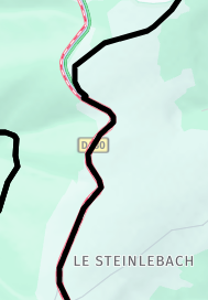
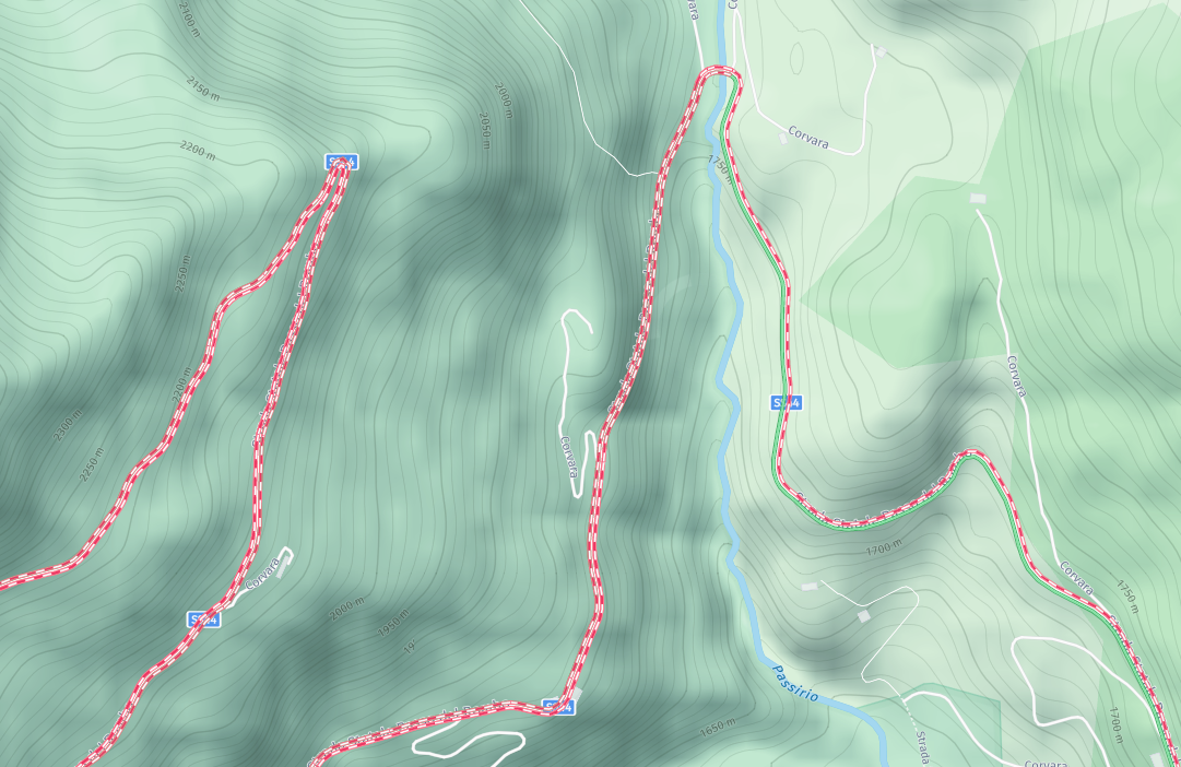
@Rob-Kelley, The reason for this, is that the generated "route" needs to be equal for all available map providers. Only a track does that without manual intervention. Besides that, HERE natively does not offer a roundtrip generator. Therefore the OSM map is used by the roundtrip generator, and the track can be loaded in MRA Navigation (using HERE maps). Not ideal nor perfect but it works ;-).
@Guzzist said in POI library - adding new database:
@Tony-13 but you know, too use such data is against german law, and will cost penalty if you will be detected
How so is the use of POI against any law...
(maybe speedcam data in your navigation tool is, but that's not what this is about).
@Nick-Carthew said in Straßensperrungen deutlicher darstellen:
@Daniel-5a
Passen Sie im Toolkit die Transparenz der Routenlinie an.
Ich halte die schwarze Routen- oder Tracklinie generell sehr transparent, weil sonst der Straßentyp nicht mehr sichtbar ist. Mir ist das wichtig, weil ich eher kleine Straßen bevorzuge statt große Bundesstraßen. So kann ich bei der Planung leichter eingreifen und einen WP setzen, wenn mir die erzeugte Streckenführung nicht gefällt.
@Martin-Wilcke said in Just notice a new view of closed road:
The change was made to the traffic overlay, not a particular map layer.
It's about the Web Planner, and you need to zoom in up to 1km scale.
Thank you all - now I have got it
@Karel76 in MyRoute-App, there is a switch to deny recalculating the route during navigation. And it would be a good Idea, to split the 5000 Km TET in shorter stints per day
And again: the easiest way is, to import the TET track and use it direct. Not converting in route. MyRout-App can navigate (and advise you) also by using a track!
@Corjan-Meijerink - thanks for your response.
It looks as though a few others would like this addition too.
Hopefully the MRA Team will implement it soon, until then I’ll keep using alternative navigation apps that can provide this.
Shame really as I like MRA as a whole, it’s a great all rounder but misses on some points, namely POI’S which is a top priority for me.
@Con-Hennekens said in Add custom POI as Waypoint:
I do not agree. POI are often away from routable roads
The POI I have on my map are manually added, they are on the road and routable... In Osmand+ you just have to connect the waypoints and you have your route ...
@Con-Hennekens
Als dat gebeurt, dan is het probleem opgelost. Het zou een ultime oplossing zijn!
If that happens, then the problem is solved. It would be an ultimate solution!
@Greenham I find it very strange that the saved and imported track differs from your initialy desired route. MRA is not always 100% accurate when exporting the track and can have some undesired peak paths which one should ignore. (Sometimes when I import a BC track, the stranges things happen).
I imported your route, saved it as a track and imported this track in my tracklogs
[link text]https://www.myrouteapp.com/nl/social/track/707609?mode=share(link url)
Went back to the route and and made the track visible. Lowered the routing points to 20 and adjusted the route to the track (The blue routing numbers). Recalculated with shortest distance and adjusted the route to the track. Switched back to fastest distance and changed the map set to TT. Problems occured after routing point 29 where there is no road any more but a trail. So on the TT map the route is no longer following the track but redirected.
[link text]https://www.myrouteapp.com/profile/routes/17526#options-route-social(link url)
For the rest I had no problems at all to optimize your route.![image: Trail - no road.JPG] [image: Trail - Michelin overlay.JPG] [image: trail - google maps satelite.JPG] [image: altered itinerary.JPG]