@Anonymouse said:
Once they have the navigation app is there a very basic, very bulletproof introductory video and/or walkthrough that I should direct them to?
You will need to try the basics well before the trip and check if a few friendly new users can cope with the app. That way will you find the holes in your instructions.
AI will give you a good starting point. You do of course have to read it and confirm it hasn't cocked it up, but that's AI for you.
Example!
MRA Navigation Next: Quick Start Guide
From install to navigate
Install the App: Download the official MRA Navigation Next app from the iOS App Store or Google Play Store.
Log In: Open the app. Enter the exact email and password used to purchase your subscription or lifetime membership.
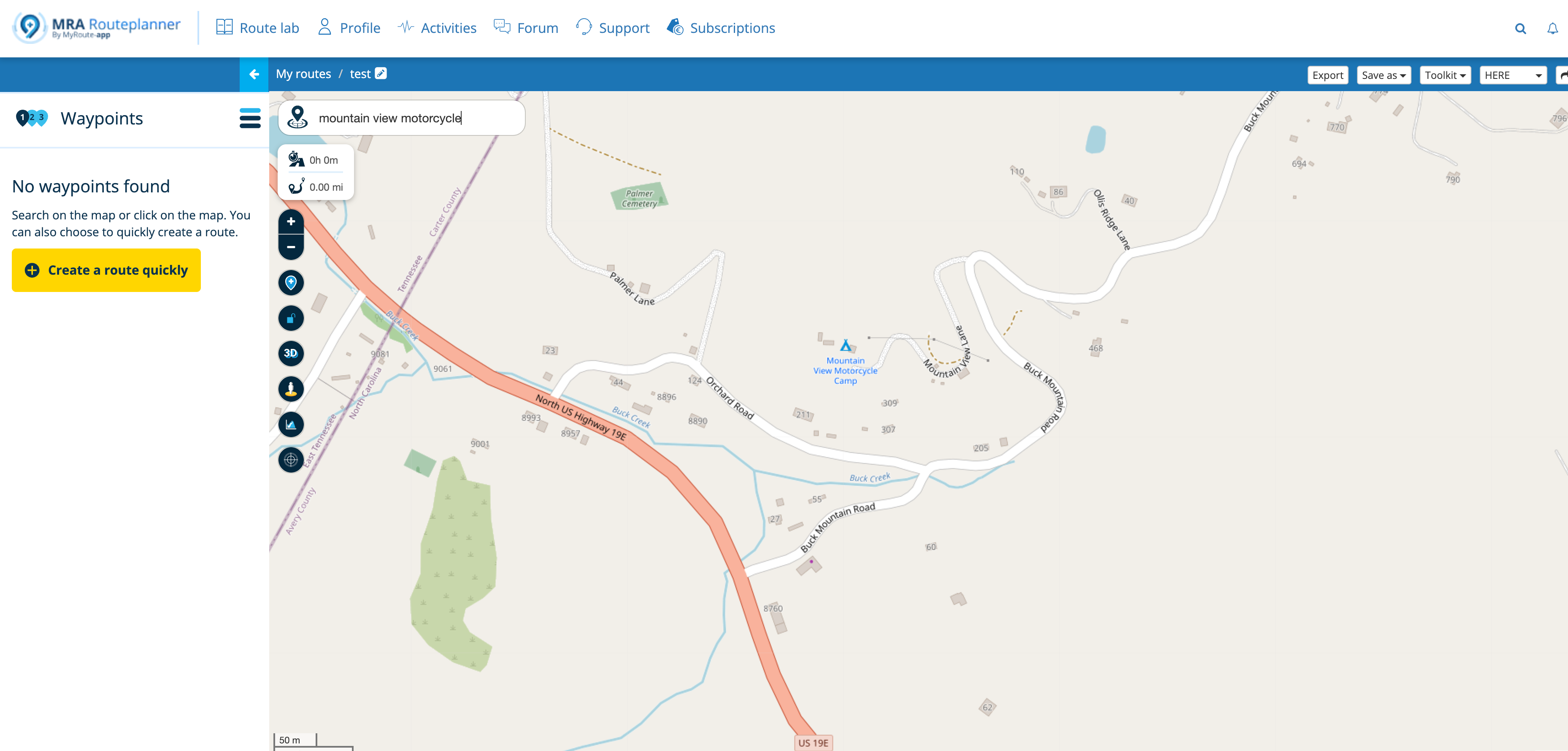
Open the Route:
On the main dashboard, tap Routes & tracklogs (under the "Get started" section).
Tap the Groups icon on the bottom menu bar.
Select Anonymouse's Group.
Tap and open the "The Grand Adventure" route.
Prepare: Tap the Navigate button.
Launch: Tap Start to begin navigation.
Before you leave home
Download Offline Maps: Download maps over home Wi-Fi to minimise mobile data:
Account (Top-right profile icon on home screen) ➔ Offline maps ➔ Europe ➔ United Kingdom ➔ Download whole region.
Carry a portable power bank.
️ Whilst navigating
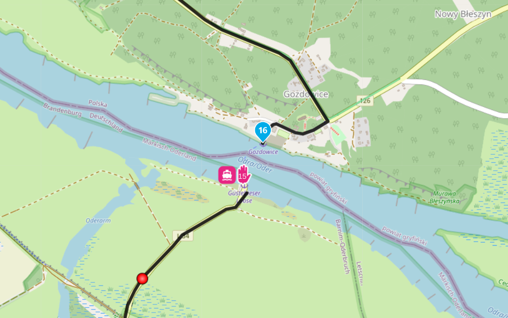
Blue Line: Your active, dynamically updating route path. Follow this / listen to the instructions.
White Line: Your original planned route. This shows where you should be if you stray off-course. (Note: The active blue line will automatically recalculate to guide you to the next upcoming waypoint).
Next Instruction (top left): Displays your immediate next turn icon, distance countdown, and street name.
Second Instruction (sub-indicator): Displays a smaller icon directly below the main turn box, warning you of the following manoeuvre (e.g., a quick right turn immediately after a left fork).
Next Waypoint (top right): Displays the number of the specific waypoint you are currently heading towards.
️ Things you can do during the route
Zoom the Map: Pinch out with two fingers to zoom out for a high-level view; pinch in to zoom closer into a junction.
Change Layout: Tap the Compass icon to cycle through map views (Dynamic Camera tracking is the default).
Skip a Waypoint: If you miss a stop or detour around a roadblock, long-press the waypoint indicator in the top-right corner to skip it manually. Your blue line will instantly recalculate to the subsequent waypoint.
Stop Navigation: Tap the three dots menu button in the bottom corner and select Stop navigation.
 undefined
 undefined
 undefined
 undefined
 undefined
 undefined
 undefined
 undefined
 undefined
 undefined
 undefined
 undefined
POPULAR TOPICS
undefined
POPULAR TOPICS