Skip to content

[Web] Suggestions and Discussion

614 Topics 4.0k Posts
  • Countries visited

    1
    3
    1 Votes
    1 Posts
    142 Views
    No one has replied
  • [Suggestion] Mark 'skipped' routepoints in sidebar

    5
    1
    0 Votes
    5 Posts
    356 Views
    Yannick_van_Vugt
    @Guzzist That's also why I mentioned a seperate indicator, when you add scheduled time, it also shows you with some extra information. Just like the OSM view has 3 icons next to the written information, this could be yet another item. The off-road icons or "skip" are used interchangeably, they should be globally the same and represent different things. Even though they currently do the same, they should show different color in navigating for example. I thought about creating yet another post, but only if this bug (where you also commented) is fixed.
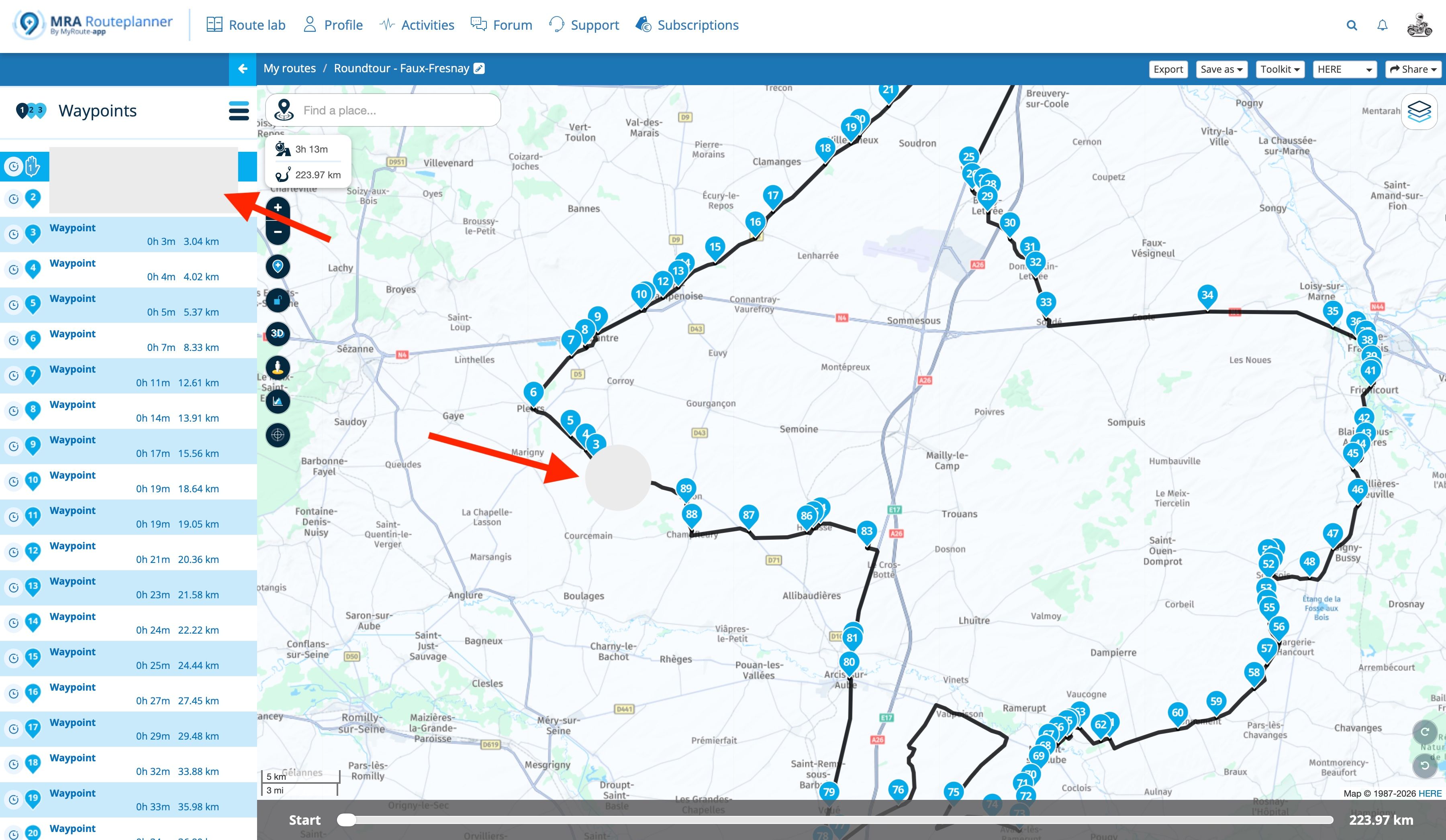
  • Skip square symbol in the Waypoint attribute pop-up window?

    Moved
    3
    2
    0 Votes
    3 Posts
    214 Views
    Nick Carthew
    Under this heading in FAQs: How do I prevent diversions at ferries and roads that are not recognized?
  • Thanks MRA!

    2
    1
    7 Votes
    2 Posts
    276 Views
    Corjan Meijerink
    You are most welcome! Seems like an epic trip!
  • Hoe een kaart met bepaalde plaatsen als POI aanmaken.

    10
    0 Votes
    10 Posts
    660 Views
    Travellexxie
    @Mister-B ah ok, dat is toch wat anders, dan waar je ons aanvankelik heenwtuurde. Nee dat kan niet. Wat je wel kunt doen, zoals Nomko schrijft, is, het ount als viapunt aan je route toevoegen en later in een adequate POI-manager (ik gebruik nog steed good old Basecamp daarvoor 🫣) de POI aan een bestaande- of nieuwe lijst toevoegen, die exporteren en in MRA weer inlezen. Het is nogal omslachtig, maar dat is tot nog toe de enige manier.
  • Which is the best GPX version to send to a TomTom Go user?

    2
    0 Votes
    2 Posts
    252 Views
    Adrian Avram
    GPX 1.1 is the best option. It exports route, track and waypoints. Remember to set the map to TomTom before the export ! [image: 1783570679435-89ec97db-081f-4977-92db-45f688db826d-image.jpeg] You can also export it directly to his online planner if you have his account info. [image: 1783570832278-62c0fbac-1bb0-4232-a823-1b1b37ec7be0-image.jpeg] [image: 1783570867576-b90298cf-510e-4a7d-91f9-7ea36261a157-image.jpeg]
  • Manual 'Compare Route calculation'

    Moved
    9
    0 Votes
    9 Posts
    523 Views
    Nick Carthew
    @Brett-Bartick I refer you back to this section from above: The overlay maps are separate to the planning maps and have no effect on route calculations. Think of them as clear sheets with extra information that you place over the top of the planning map. The planning map underneath does all of the route calculations. Each overlay map contains different information. For instance, the OSM overlay shows footpaths and if you zoom in tight there is an incredible level of detail, from post boxes and public toilets to individual trees planted in a city. The Michelin map is famous for its green roads, a road with a green line alongside it indicates a scenic section. Motorway networks are also clearly seen. Google maps are good for showing shops and restaurants. The HERE logistical map is useful for anyone using oversized vehicles as weight and size limits are visible as are environmental zones. The overlay maps are just additional tools to use while planning your routes.
  • Review and suggestions

    1
    1 Votes
    1 Posts
    105 Views
    No one has replied
  • how to view pictures of a structure or intersection

    3
    0 Votes
    3 Posts
    296 Views
    Jim O'Dowd
    Nick, Thanks so much! It was there all along! Sometimes the simplest things can make a big difference! Just when I think I have a pretty good handle on this route planner, I find something else I should have known... Thanks again, Jim O'Dowd
  • Am I using it wrong?

    7
    1
    0 Votes
    7 Posts
    491 Views
    Kerry Lebel
    Thanks Nick!
  • Tracklog datapoints [Local time, speed, altitude, export CSV]

    5
    4 Votes
    5 Posts
    620 Views
    RainerT
    Much more information is available from the tracks. Use gpxsee, https://sourceforge.net/projects/gpxsee/ RT
  • Convertir un waypoint en un POI

    1
    1 Votes
    1 Posts
    108 Views
    No one has replied
  • Effacement d'un fichier à l'écran

    3
    0 Votes
    3 Posts
    259 Views
    LE DIZES Freddy
    @Albert-van-den-Elsen oui , merci , ma demande est pour l'application sur ordinateur
  • Poi's per rit op meerdaagse reizen

    3
    0 Votes
    3 Posts
    300 Views
    Hubert Thoring
    Simply use the MRA navigation on your mobile phone ...
  • Search for routes containing a 'favorite' waypoint

    5
    1 Votes
    5 Posts
    420 Views
    Don Stauffer
    As I get older, and I have more route history, I like this idea more and more. I've been using Google location history to answer the question - was I here before??
  • Track log content & presentation

    2
    0 Votes
    2 Posts
    260 Views
    Rob Verhoeff
    @John-Matthews-0 No, it didn't, but now it did https://forum.myrouteapp.com/post/79857
  • fuel stops when using track navigation

    3
    0 Votes
    3 Posts
    299 Views
    Con Hennekens
    @peha, Long press on the track-line where you want to rejoin, a bit ahead in the route from where you are. This can only be done on the phone.
  • Wegwerkzaamheden

    6
    0 Votes
    6 Posts
    439 Views
    Marinus van Deudekom
    Of je gebruikt de nieuwe blokkade oplossing in de app. Het zal altijd zo zijn dat je toch onverwachte afsluitingen tegen blijft komen. Maakt het ook wel weer een uitdaging om een oplossing te vinden. Nu MRA je sinds de laatste update ook nog beter kan assisteren, zou het goed moeten gaan komen. Vanaf volgende week zaterdag 8 dagen Eifel en gegarandeerd dat we daar weer een kaart verrassingen tegen gaan komen. Als je ze als verrassingen gaat zien, worden ze misschien ook wel leuk, of toch in ieder geval een uitdaging. Have fun
  • Luftlinie zwischen zwei Punkten

    5
    1
    0 Votes
    5 Posts
    481 Views
    Con Hennekens
    Binnenlandse ferries zonder vaarschema worden door HERE als 30 minuten beoordeeld. Is er een omleiding mogelijk korter dan die 30 minuten, dan zal dus die omleiding berekend worden.
  • My route is not anywhere near "the sea."

    3
    0 Votes
    3 Posts
    296 Views
    Don Stauffer
    I received a similar error message 'hint' regarding the sea when attempting to automatically create a scenic roundtrip tour near Calgary. I had cleared all restrictions also. I was not expecting much, since this is an urban area, but there are mountains nearby.
ACTIVE USERS POPULAR TOPICS
MY GROUPS