-
-
-
-
-
-
-
-
-
-
-
-
-
-
-
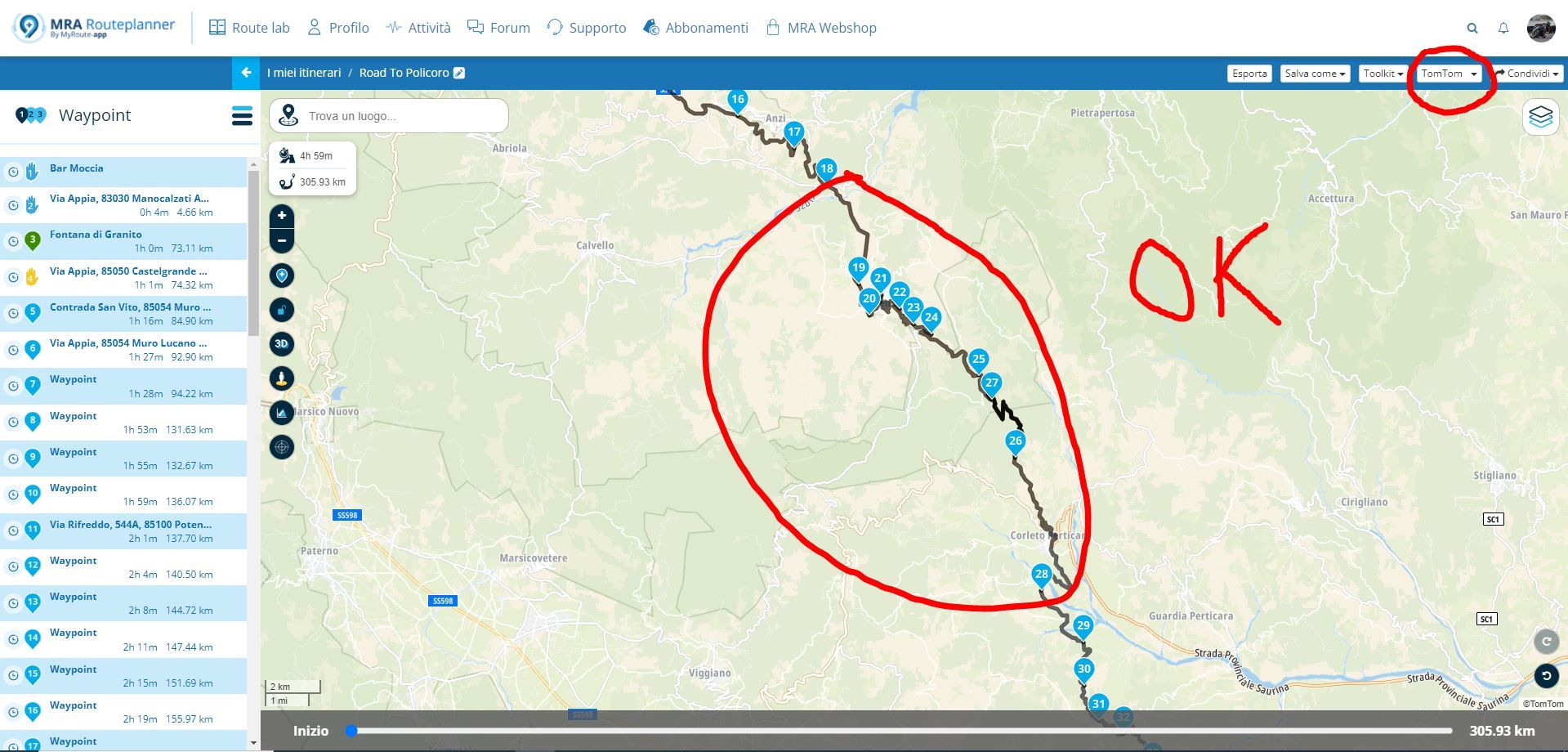
route maken via omwegen
Moved -
-
-
-
-

ACTIVE USERS
 undefined
 undefined
undefined
undefined
 undefined
 undefined
 undefined
 undefined
 undefined
 undefined
 undefined
 undefined
 undefined
undefined
undefined
 undefined
 undefined
POPULAR TOPICS
undefined
POPULAR TOPICS
Lenny O
John S Parry
M. Schrijver
Peter Zehentreiter
PieterG
Brian McG
Corjan Meijerink
Hubert Thoring
Don Stauffer
Mzokk
Nick Carthew
Martin White
John Newman 0 0
Travellexxie
nomko
MY GROUPS