Skip to content
  • Using help for drivers in MRA

    General Discussion suggestion next
    5
    0 Votes
    5 Posts
    453 Views
    @Hanza-0, I understood that MRA is aiming at Flitsmeister integration (for Europe that is). So maybe your suggestion is already in planning.
  • 2 Votes
    3 Posts
    66 Views
    @Jaap-Brandsma said in Suggestion: create a warning on the screen when you reach a special point, e.g. lunchpoint.: I allways have problems remembering at which point we planned to stop for lunch on our route/track, it could be handy to give a warning on the screen when you reach such a point. If you choose a coloured route point for your lunch stop and use a POI, these become clearly visible when using MRA Navigation. You can also click the route point to reveal any note that has been written. [image: 1663257114667-b3ead19f-0b6b-484d-95a1-da041702a746.png] [image: 1663257140810-aca3fa82-b3d4-45f2-8324-a5b99881afe4.png]
  • 2 Votes
    4 Posts
    104 Views
    I should appreciate this also if that could be integrated. BMW nav 6 has his feature also and it's possible to see how many time/kms it takes before you'll arrive @ your eating point (for example) that was foreseen into your route. So you can deside to drive to that point or see that it is too far away and take a look for another restaurant.
  • 1 Votes
    2 Posts
    62 Views
    So it appears that I got an answer about my observations on #1 and #2 here... Navigation with waypoints It appears that my observations were correct. I'm good with #1. Disappointed with #2. On the upside, it appears that #2 is going to be addressed in Next. Great. As to #3, assuming that my observations were correct, I hope it will also be addressed in Next.
  • 1 Votes
    6 Posts
    144 Views
    ios 12.4 does not work.... android 11 works.
  • 2 Votes
    11 Posts
    1k Views
    @Tim-Thompson said in Suggestion: Import Routes, Route-Tracks and Tracks in one step: I note that Gold subscription has a Reduce function in the tool kit. using that function for this purpose will give you possibly a different route; Less waypoints = less precision
  • 0 Votes
    5 Posts
    70 Views
    @Hans-van-de-Ven-MRA-Master said in Suggestion: Interoperability/Integration with other route planners: @Tim-Thompson Hi Tim, Why? MRA has everything in-house, why would you create a route in another application? No offense here Hans, but the word that immediately jumped into my mind when reading this was "myopic". As I've mentioned before, I don't use MRA as my primary route planner. I disagree with your viewpoint that MRA has it all - eliminating the necessity for any other. I'm not wedded to any platform. I tend to look at - and run through their paces - as many options as time allows. What I end up using in the end depends on which one (or ones) best accomplishes - in my view - what I need from it (or them). There are - in my view - other options that are both more useful and more capable for route planning than MRA (in particular in meeting the needs that are important to me). Don't get me wrong, I think MRA is a decent option for what it is, but I don't think it's the be all - end all.
  • 0 Votes
    11 Posts
    122 Views
    @Nick-Carthew said in Suggestion: Expand Waypoint Color Palette and Pause Symbol Options: @Tim-Thompson said in Suggestion: Expand Waypoint Color Palette and Pause Symbol Options: 
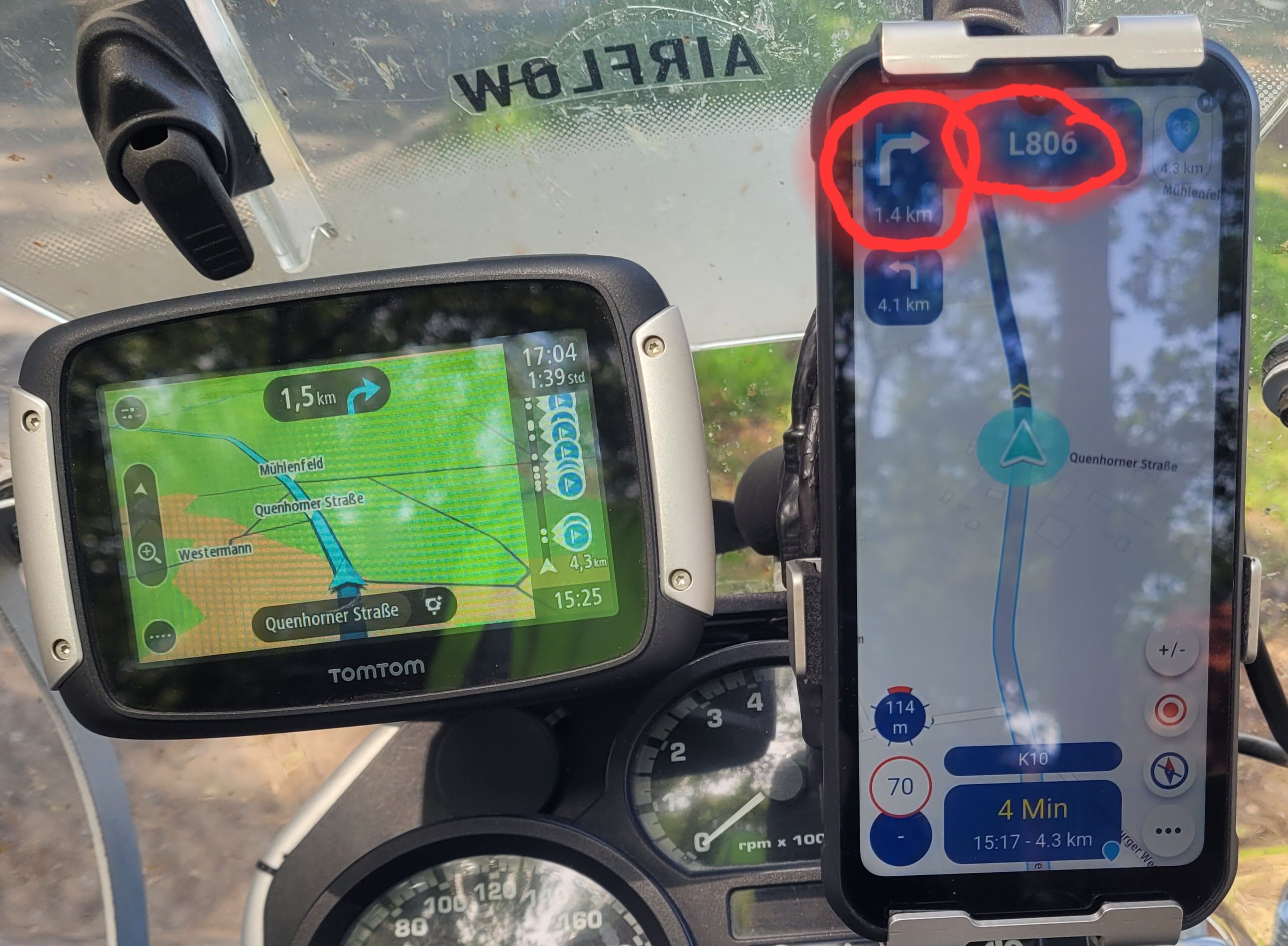
I appreciate the current implementation for it's simplicity and there's good arguments for keeping it that way. However, I still find myself wanting a little more occasionally. Take the color choices for example... I tend to use green for the route start and red for the route end. That leaves me 3 colors to choose from for all else. Blue I consider to be the default, so now I'm down to two - yellow and pink(?). It might be nice to have just a few more choices. 
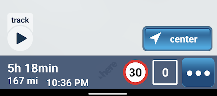
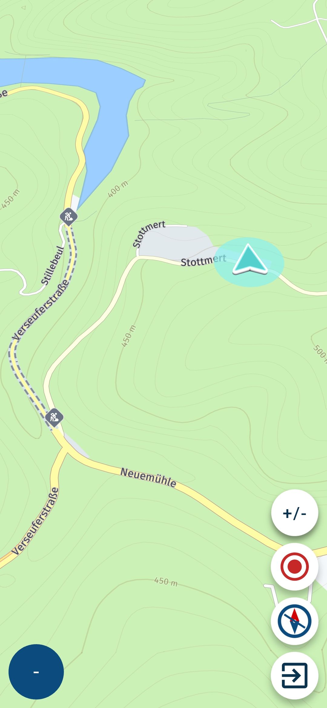
On the pause symbols... I can get by with the current choices fine. I generally only use Fuel, Food, and Viewpoint. I might occasionally use Drinks, although I generally don't drink much while riding. I use Viewpoint as a catchall - signifying anything that might be something you stop to see or do. It might be nice to have a few more options here. But not a big deal. I can live with what there is. Hi @Tim-Thompson The problem with using the green for the start and the red for the finish is; you only get to use those two colours once, so I can see why you would want a larger palette. 
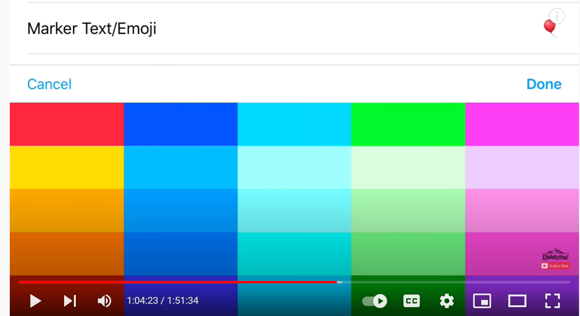
The RouteXpert colour key seems to work ok why not give it a go: Blue: Just used for shaping the route. Yellow: We use this as an indicator that from that exact spot, something can be seen. This could be a castle on a hill, a waterfall or a prominent mountain on the skyline. Green: This is used to show great places to stop for photos (used in conjunction with a camera icon and generally a 10 minute pause break). Red: This has several uses but it always indicates a stop. This could be a fuel stop, coffee/lunch stop or a stop to visit an attraction like a museum. Suitable icons and pause breaks are added. Pink: This also has several uses, but they will all be for information. This could just be general information about the area, or an option to take an alternative route. We also use pink along with the warning triangle icon to warn of any hazards like unprotected mountain roads or a series of tight hairpin bends. In addition to this we generally use via points for green and red route points.. That's certainly one way of doing it. But it shouldn't be the only. I think this is dependent on how things work best and seem most logical for the individual user. Again, you don't want to force/constrain the user into a use case that isn't logical or intuitive to them because of the limitation of the tool. Personally... I use Yellow for fuel stops. Yellow stands out and it's something that I don't want to miss. I like Green and Red for the beginning and end because they catch my eye and I can quickly recognize them for what they are immediately upon opening/viewing the route on a map. I use pink for stops - whatever kind of stops they may be - because it's sort of reddish (reddish for intermediate vias/stops) and because it's the only option left. Is my way of thinking about color use right? For me maybe, but maybe not for others. Flexibility and (enough) options seems good here.
  • 2 Votes
    7 Posts
    665 Views
    @Hans-van-de-Ven-MRA-Master said in Suggestion: Make the Routeplanner Left Column resizable: @Jack-van-Tilburg I know it's hard to find tracks and routes through that menu, especially if they come from others. I try not to make the names longer than 36 characters (max what is readable on the Zumo XT) and start my routes with (mmdd City name City name) so as an example (0919 Helmond Trabeb Trarbach) I also set the date and time when creating of the route, because that's what they're sorted by in the XT. I'll drop the enlargement of the left menu to the programmers. That's fine. You like doing things your way... And I like doing things my way. What would be nice is if neither of us are constrained to how we prefer to do things by the limitations of the tool.
  • 5 Votes
    13 Posts
    208 Views
    @Steve-Lynch , An addition to this topic might be the suggestion to show the original route (perhaps in a different color), so when you need to take a detour because of a road block, you can see how to get back to the original route. Garmin BMW shows this.
  • bug: ambassador

    General Discussion link suggestion
    10
    0 Votes
    10 Posts
    668 Views
    @Hans-van-de-Ven-MRA-Master Yeah, that's why they are so very active on the forum
  • 0 Votes
    11 Posts
    147 Views
    @Timo-Martosatiman-MRA said in Suggestion: Navigatie voor fietsen en wandelen zou een waardevolle toevoeging aan de app zijn.: Hoi Hans, een leuke aanvulling die we al jaren op het oog hebben. We willen ook de recreatieve wandelaar/fietser op MyRoute-app een thuis geven. Daarom hebben we in mobile het nu de OpenCycleMap toegevoegd. Dat zal ook zo blijven als je straks Navigation Next gebruikt. Hi Hans, a nice addition that we have been eyeing for years. We also want to give the recreational walker/cyclist a home on MyRoute-app. That is why we have now added the OpenCycleMap in mobile. This will also remain the case if you use Navigation Next. Hey, Wil dit dan zeggen dat je met de next navigation een fietskaart kan laden? Of er toch gebruik wordt gemaakt van fietswegen. Ik heb met de huidige mobile app de fietsroute voor werk eens toegevoegd met de cycling map, hier neemt deze zoals komoot perfect de fietssnelwegen. Als ik navigeer van A naar B zonder route vooraf te plannen/track neemt deze de gewone auto wegen terwijl het dan best is de fietsroutes/ fietssnelwegen te nemen zoals op de cycling map. Misschien een mogelijkheid om verschillende kaarten te gebruiken bij het navigeren? Aan de hand van het gekozen voertuig.
  • 0 Votes
    18 Posts
    1k Views
    @Rob-Verhoeff Thanks a lot, I missed that. Now I only have to consider whether or not to buy a product without having a clue where it will end up But then, that routeplanner is excellent so ...
  • Calculator function - MRA Gold

    General Discussion suggestion
    2
    4 Votes
    2 Posts
    291 Views
    @Don-Stauffer Hello @Don-Stauffer I've left the idea with the developers so they can think about it
  • 0 Votes
    2 Posts
    438 Views
    The app is currently being updated with new functionalities, I dare not say whether all your wishes will be included in this version.
  • 0 Votes
    4 Posts
    1k Views
    @Mark-Davies-0 I’m a CoPilot user as well and I think, CoPilot should use the most common GPX data format instead of her own and rarely used .trp format.
ACTIVE USERS POPULAR TOPICS MY GROUPS