Ik zit in de creatieve sector en met creativiteit vind ik wel mooie routes, maar MRA helpt mij aardig vooruit de met routegenerator om het voorbereidend werk te doen.
Maximaal aantal bochten en grootste hoogtes, het vermijden van snelwegen, tolwegen, carpooling en ook wel grote wegen. Ik laat het uittekenen volgens de denkpatronen van TomTom..
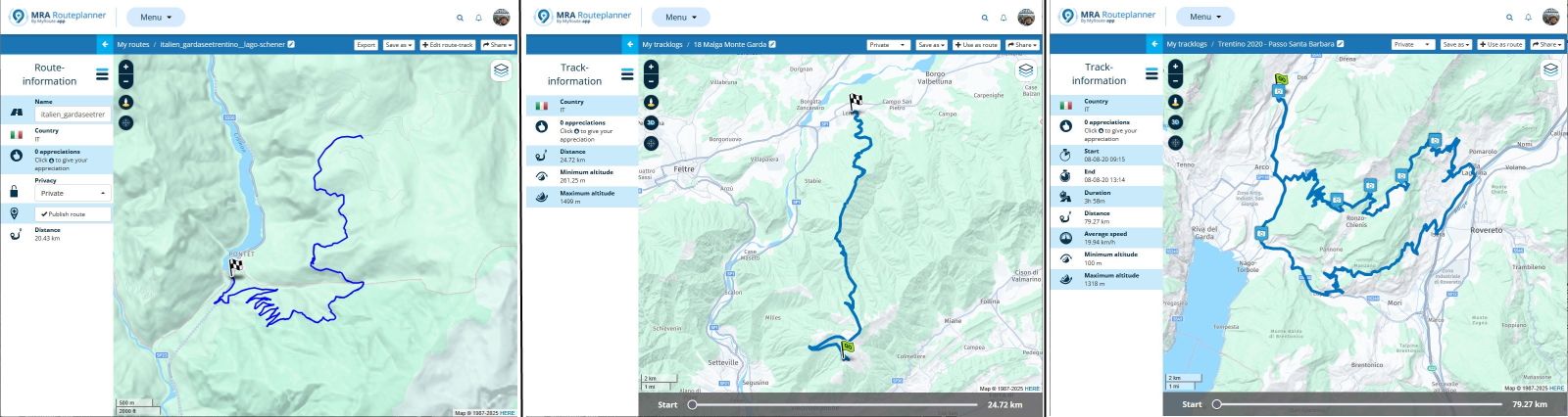
Daarna ga ik zelf aan de slag en ga de routepunten automatisch laten vermeerderen, met name 1 waypoint om de 5 km. Ik start ook de vergelijkingsmodus met denkpatronen van Here.
Dan ga ik verschillende onderliggende mappen raadplegen zoals Michelin, Google Maps Hhybride enzovoort. Interessant is ook de Open Cyclo Maps erbij te nemen, want toegeven fietsers en mountainbikes rijden ook wel door mooie landschappen en dat kan inspirerend werken.
Ik ga ook soms piepen bij de concurrentie, namelijk onze Vlaamse routeplanner RouteYou uit Gent.
Het vraagt wat werk, maar als je inzoomt met OSM, zie je ook de mooie kastelen, monumenten, kerken, uitzicht punten en parken in de buurt van de route.
Soms kan je ook do door de velden of wijngaarden of bossen rijden : de dirty roads.
De TET-paden of ACT-paden raadplegen geeft weer andere inzichten.
Je zou een Waypoint-Generator kunnen ontwikkelen dat een scenic route of rondrit opstelt op basis van bijvoorbeeld wijngaarden of kastelen in de Loire streek of de beste uitzichtpunten vanuit je startpunt.
Langs rivieren of langs kustlijn of Romaanse kerken of de whisky route in Schotland (kan gevaarlijk zijn)
Dankzij super software, want ik gebruik niet graag het woord artificiële intelligentie, kan je hiermee ook aan de slag.
Er is met de motorfiets al zoveel te ontdekken in Europa dat je eigenlijk nooit tweemaal dezelfde route hoeft te rijden binnen de ons omringende landen.
En inderdaad, zoals hier gezegd is, kan dat lokale bevolking ook tips geven: ik heb het al meegemaakt met Italiaanse boswachters in de bergen.
En dan zijn er ook die vele onverhardeimin of meer vlakke wegen met waterplassen en kleine geulen zonder over rotsblokken en boomstammen te moeten rijden met die zware Allroad motorfiets.