Ik heb 2 abonnementen, probleem opgelost. daarmee ondersteun je ook de BV MyRouteApp. En je spaart op een TomTomRider, een Garmin XT 1/2, een Navigator 4,5,6,7, een Chigee 5/6, enz ( allemaal toestellen van boven de 500€ )
@Corjan-Meijerink : wanneer kunnen we nog eens geld schenken ?
In mijn volgers, en excuses dat we er soms met teveel op zaten dat was puur om hen te overtuigen van het gebruiksgemak van MRA-NN, zijn er al 7 van de 13 overgeschakeld op één van de web-versies én op de NN versie.
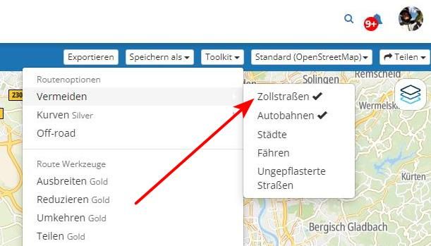
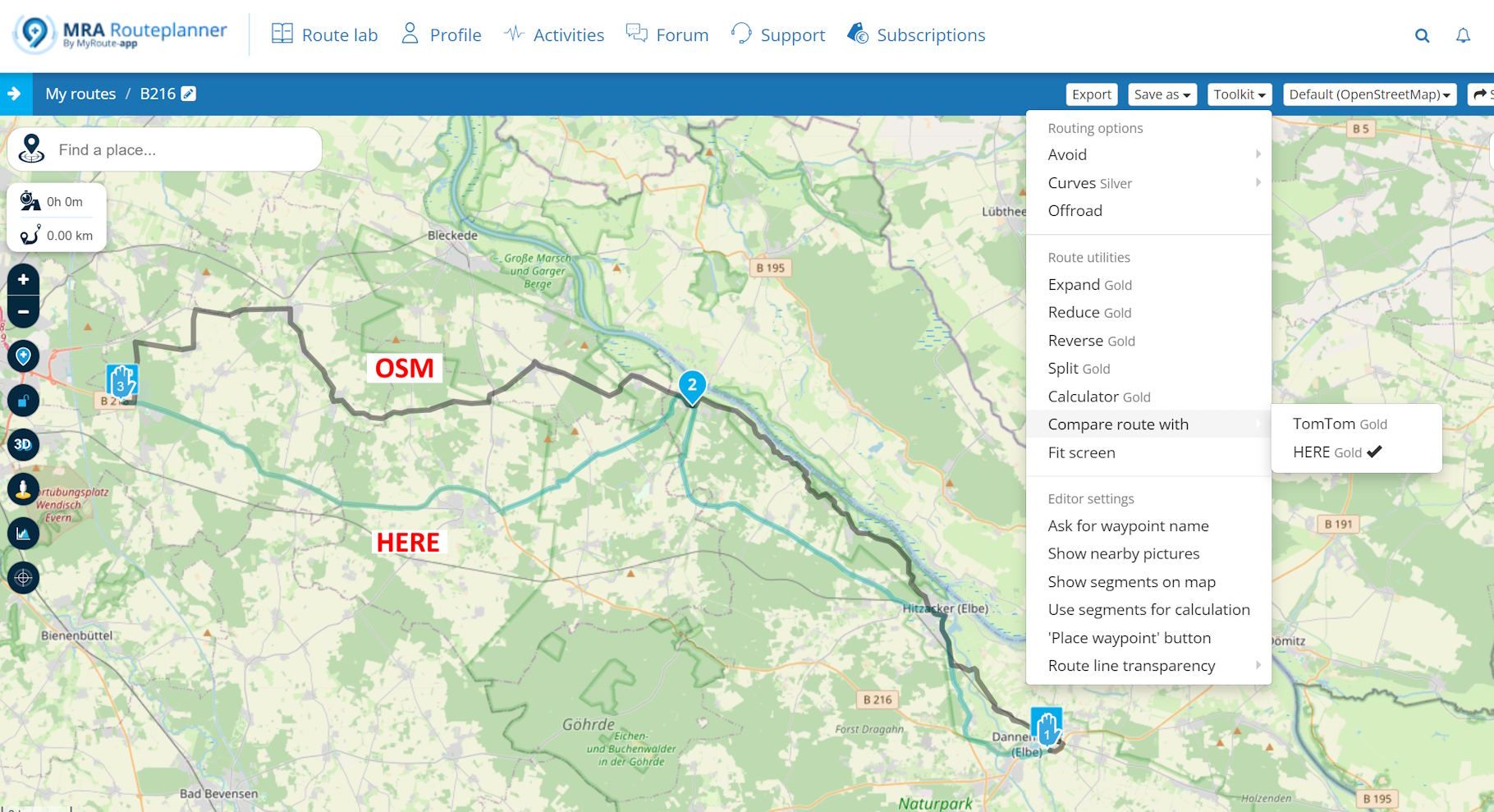
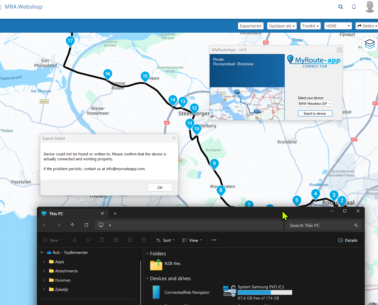
We verloren elke ochtend op motorreis, +/- 1 uur aan het opslaan of exporteren als GPX, TNT, ... via SD-kaartjes, ( soms niet werkende bluetooth ), al-dan-niet upgedate kaarten van TomTom of Here, kortste wegen, lange wegen, milieuvriendelijke wegen, geen of wel kleine bochten, verschillende hoogte, enz .