Hi @Sam-Kramer ,
as @RetiredWingMan wrote: access rights for MyRoute-App to location must be granted for all time. Not limited for time in wich App is used! And battery saving for the App must be off!
Then, as @Nick-Carthew wrote, tap the red circle icon down right on the screen, to get it green. This will start recording your trip.
At the end of your trip, you need to tap again the now green circle icon, to start saving procedure; this will take a couple of seconds. If you don't have Internet connection this time and saving fails, check upload queue in App. You can repeat uploading of failed tracks, if you have a Internet connection later on.
And about wording: you are right. "Via Points" in MRA-Routeplanner are called in other navigation devices differently; may called Waypoints...
Inside a gpx file (file format is common), you can see: if there is a route, the points are called routepoints. If there is a track, the points are called trackpoints. And if there is a POI (Point of Interrest) included, it's called waypoint. Sounds a bit irritating, but take a moment to think about, then you will understand.
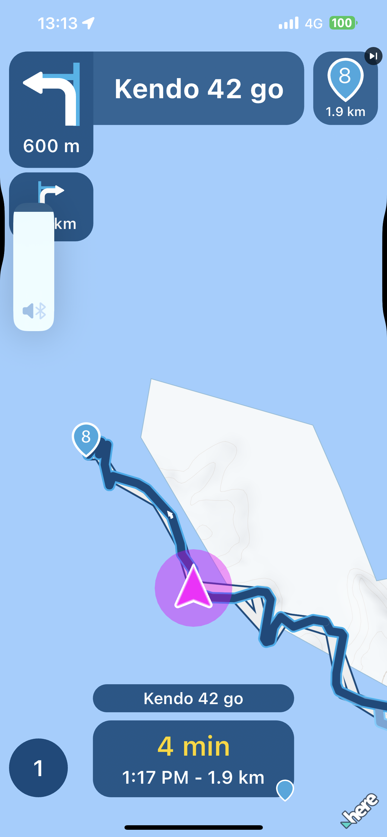
Also you need to understand: what you usually are planning before a ride, is a route. Defined by routepoints (via, or shaping). At MyRoute-App you will see a blue line as overlay on map. And you will see turn instruction icons on screen and you will get additional voice instructions during ride.
In opposit: you can record your ride, then it's a track and you will see a yellow line as overlay on map. Both also at same tine: following a route and recording your ride as track.
If you will follow later on your saved and reloaded ride (track), or get a recorded trip of someone else as gpx file - then you must check ongoing the track line on map and compare, if you are still on right road. You will not get turn instruction icons on screen and you will not get additional voice instructions from tracks!
Usually...
But new in MyRoute-App: you can use a route - but navigate as track. Then you will get additional voice instructions during ride! The advantage is: navigation is really calculating the path exactly on the track. You know - if you share a route with others, each navigation device is calculating the path by it's own algorithm. Result will be different at each device.
 undefined
 undefined
 undefined
 undefined
 undefined
 undefined
 undefined
 undefined
 undefined
 undefined
 undefined
POPULAR TOPICS
MY GROUPS
undefined
POPULAR TOPICS
MY GROUPS