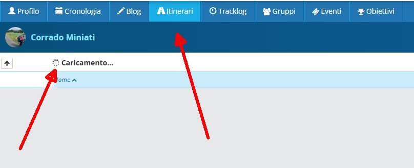
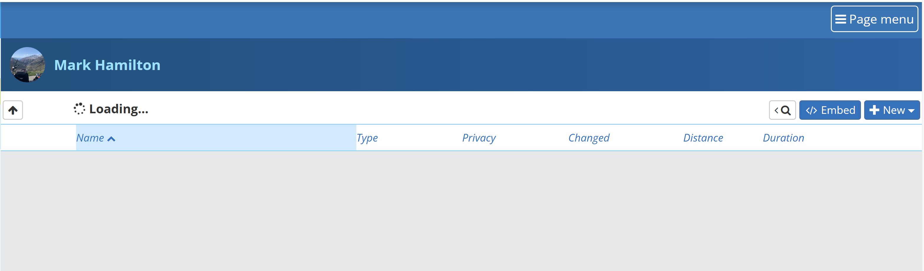
Skip to content

[Web] Problems, Bugs and other Issues

467 Topics 3.4k Posts
  • Autoveer Maassluis Rozenburg

    16
    0 Votes
    16 Posts
    567 Views
    @Nomko-Nomden Dan heb jij toch ergens een krom voltje in je instellingen staan. Met de reismodus auto en kortste route gaat hij bij mij echt over het veer.
  • Foutmelding bij vergelijken route's

    13
    0 Votes
    13 Posts
    390 Views
    @Huibertus Bedankt voor jullie hulp. Ik ga met jullie oplossingen en adviezen aan de gang.
  • Sharing Route via Email issue?

    8
    0 Votes
    8 Posts
    470 Views
    @Lenny-O on my Android tablet, when I share via email, I'm asked which app I want to use. I select one and it opens fine.
  • Andere layout taakbalk

    5
    0 Votes
    5 Posts
    258 Views
    @Con-Hennekens Helemaal top. Het werkt zo uitstekend. Bedankt voor de snelle reacties
  • Groups function - messaging members

    1
    1 Votes
    1 Posts
    147 Views
    No one has replied
  • Hand vs. drop

    10
    0 Votes
    10 Posts
    559 Views
    @Nick-Carthew Zumo XT2, 50 points is no problem. But in the group we also have a Zumo XT and there I have to make only 29 points (hand) and the rest of the points as a drop. It would be good to set somewhere to make points (hand) in the base.
  • This topic is deleted!

    1
    0 Votes
    1 Posts
    3 Views
    No one has replied
  • Byway Open To All Traffic unrecognized.

    6
    0 Votes
    6 Posts
    309 Views
    @Ben-Lewis Rhiwnant to Claerwen (On and Off Road) If you are serious about riding BOAT's in the UK (And probably the UK TET Routes also) you may want to consider using the OS Maps Software. You can still use MRA to run the routes as Tracklogs which includes the Off-Road and On-Road sections. You simply follow the line. https://www.myrouteapp.com/en/social/track/568605?mode=share
  • Duitse weg wordt niet herkend in Here maar wel in TomTom

    6
    0 Votes
    6 Posts
    255 Views
    Dit maakt de functie vergelijken met kaart..... Ook erg interessant. Als de ene kaart over een weg gaat en een andere kaart absoluut of met zeer veel moeite. Dan is er vaak iets aan de hand. Ook ik heb dit soort dingen vaker gezien. Uiteindelijk is de meeste verstandige keus (zeker als je ruim van de te voren aan het plannen bent), meestal een alternatief plannen waar beide kaarten het eens over zijn.
  • Server Antwortzeiten 27.2.24 schlecht

    18
    0 Votes
    18 Posts
    726 Views
    To be honest, I am increasingly bothered by the increasingly common "503" message.
  • Avoid blocked road

    10
    0 Votes
    10 Posts
    514 Views
    @Urs-4 said in Avoid blocked road: Would be handy to see these details directly in the MyRoute-app. Yes it would, but I also think it would lead to a lot of clutter in the app. Every map-maker has their own methods of checking and communicating changes. Maybe it is sensible to add a menu option for a waypoint, to lookup the same position on either the OSM, TT or HERE webpage directly.
  • Roadblocking

    7
    0 Votes
    7 Posts
    302 Views
    @Con-Hennekens Well, maybe a bit exxagerated. But when I consider last weekend we even didn't reach our destination as expected.
  • issues with roundtours

    11
    0 Votes
    11 Posts
    544 Views
    @richtea999 I think the problem here is, that good and good an be totally different from driver to driver. Some really (for me) nice small roads, i would drive, can be a problem for somebody else riding for example a super psorts bike or something not so comfortable. I think the vcrvy thing is the best basic and easy approach. I use it primarily for me "scouting" trips, on which I just want to explore a region I haven't been before and need some ideas where to go. On longer tripps I always plan it all for myself and don't use the Scenic Round feature. As I am also a Gamrin XT2 user, I think the "database" of nice routes is a good idea, as long as you clearly define waht are the criterias for a nice route and chekc if the reported routes are in line with this definition. Garmin uses an overlay idea with scenic routes. Really hard to be perfect if not impossible.
  • Herberekenen rondrit met verkeerde uitgangspunten

    5
    0 Votes
    5 Posts
    235 Views
    @Rob-Verhoeff hartelijk dank voor je duidelijke uitleg. Hier kan ik wat mee! Jammer wel dat de ontwikkelingen nog niet zover zijn dat deze tekortkoming overwonnen kan worden, maar ik zal mijn werkwijze aanpassen.
  • This topic is deleted!

    1
    0 Votes
    1 Posts
    3 Views
    No one has replied
  • There is a road but MRA don‘t like it :-)

    8
    0 Votes
    8 Posts
    446 Views
    @Con-Hennekens when I discovered that function, it quickly became a 'route check' as part of my process. If any route I am planning does not show, it is quickly left out. To ensure my confidence in this function, I verified with Google Maps (yellow man) and Google Earth - both verified the road/route should not be attempted with a cruiser/bagger motorcyle.
  • POI Import

    7
    0 Votes
    7 Posts
    460 Views
    Habe die Lösung gefunden. Man muss die Koordinaten die einem Gooogle-Maps angibt in der Reihenfolge vertauschen! Beispiel: Der Eiffel-Turm in Paris hat in Goolge-Maps diese Koordinaten: 48.858300460132334, 2.294520997249795 In der CSV-Tabelle bzw. Spalte muss dies nun so stehen: 2.294520997249795,48.858300460132334,"Effel-Turm Paris","" Bei mir klappt das jetzt so.
  • Routing down Closed Road.

    5
    0 Votes
    5 Posts
    291 Views
    @Hans-van-de-Ven-MRA-Master Many Thanks. Have reported the issue.
  • ‘N’ problem - is it my keyboard?

    7
    0 Votes
    7 Posts
    430 Views
    Fixed in the 4.1.0 release
  • Icoontjes van de POI's

    5
    0 Votes
    5 Posts
    196 Views
    Nummer support ticket #48445 Uit beeld verdwijnen POI iconen
ACTIVE USERS POPULAR TOPICS MY GROUPS