@D-A-Wakefield said in Base maps and POI's:
What is the difference between the different base maps when using them in different navigation devices, be it Garmin, phone, BMW's TFT? Will they not work or do they not really make a difference?
In theory, there shouldn't be a big difference between the maps, as they all presumably attempt to have digital maps that accurately represent the real world and calculate routes in the "optimal" way.
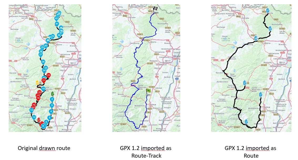
However, in practice there can be quite a bit of deviation between different maps, depending on the circumstances and specific situation/location where you are planning.
These differences are mainly caused by 2 things:
differences in the actual maps. Changes to roads are not instantly transferred from the real world to the map and each map provider has its own process to incorporate changes into their maps, so maps can deviate, both from the real world and each other (usually temporarily). Also, sometimes changes are reported erroneously, causing map errors.
differences in the routing algorithms. Each map provider has its own definition of what constitutes an 'optimal' route and how to calculate it. For example, HERE is known to avoid (river) ferries (possibly just the ones that don't sail to a fixed schedule) and instead route its users over the nearest bridge, when "fastest" routing is used. TomTom doesn't do that.
For that reason, it is recommended to plan routes using the map (and routing settings) that best match the device or app your are going to use to do the actual navigation, to minimise these deviations.
An additional complication, specifically for systems that use downloaded maps (such as most navigation devices), is that the maps on the device may be older than what is available online, which can cause deviations even when using the same map provider.