Waypoints for a TomTom
-
Can anyone help with this issue please?
I'm planning the routes for a tour group who are (of course) using different navigation devices.
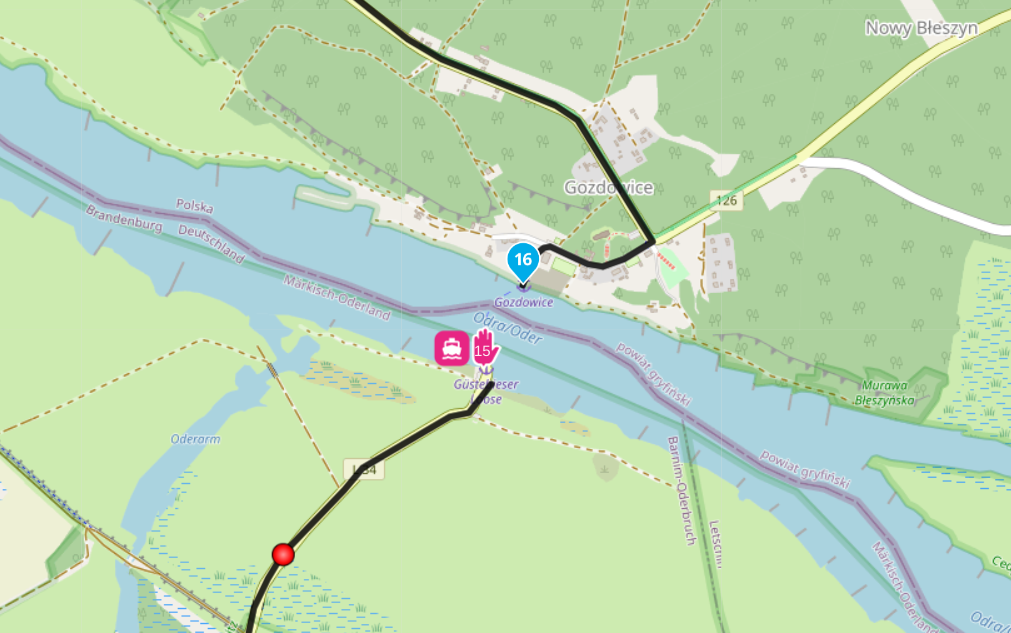
The person who's using a Tom Tom rider 550 will often be leading and will need to see the critical waypoints (food, coffee stops etc) so he doesn't sail past them. Obviously he doesn't need to see the shaping points.
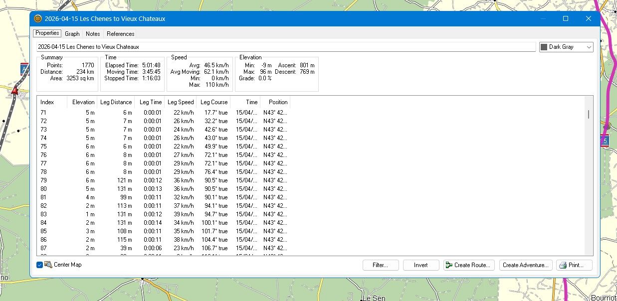
I've followed the advice about using the correct map for TomToms and exported the route to gpx1.1 and will have him use the track rather than the route as advised. Can it be arranged that the waypoints are displayed?
-
Can anyone help with this issue please?
I'm planning the routes for a tour group who are (of course) using different navigation devices.
The person who's using a Tom Tom rider 550 will often be leading and will need to see the critical waypoints (food, coffee stops etc) so he doesn't sail past them. Obviously he doesn't need to see the shaping points.
I've followed the advice about using the correct map for TomToms and exported the route to gpx1.1 and will have him use the track rather than the route as advised. Can it be arranged that the waypoints are displayed?
@Paul-Johnson-5 Yes if you upload the route as an .itn file by using the USB cable. You could also add POIs at your stops and add them the same way as .OV2 files. The waypoints will all appear the same, TomTom does not recognise the difference between a shaping point or a via point, they are all treated as stops.
-
Can anyone help with this issue please?
I'm planning the routes for a tour group who are (of course) using different navigation devices.
The person who's using a Tom Tom rider 550 will often be leading and will need to see the critical waypoints (food, coffee stops etc) so he doesn't sail past them. Obviously he doesn't need to see the shaping points.
I've followed the advice about using the correct map for TomToms and exported the route to gpx1.1 and will have him use the track rather than the route as advised. Can it be arranged that the waypoints are displayed?
@Paul-Johnson-5 Personally I would upload as a .gpx and add .OV2 POIs. You won’t see any waypoints but you will see the POIs.
Always willing to help if I can.
Triumph Tiger 1200 XRT called Tina.
MRA Navigation Next and SilverFox BJ8 -
The best option is still to divide your route into parts. Every part is until a planned stop.
It makes the best nav-device independed routes(I use MRA Next only on Android Auto. Every comment, suggestion, etc will be based on my usage with Android Auto)
-
@Paul-Johnson-5 Personally I would upload as a .gpx and add .OV2 POIs. You won’t see any waypoints but you will see the POIs.
@Nick-Carthew Thanks Nick
-
The best option is still to divide your route into parts. Every part is until a planned stop.
It makes the best nav-device independed routes@M-Schrijver Thanks - an option I hadn't thought of.
Hello! It looks like you're interested in this conversation, but you don't have an account yet.
Getting fed up of having to scroll through the same posts each visit? When you register for an account, you'll always come back to exactly where you were before, and choose to be notified of new replies (either via email, or push notification). You'll also be able to save bookmarks and upvote posts to show your appreciation to other community members.
With your input, this post could be even better 💗
Register Login-
09140
-
-1628
-
1351.9k
-
717841
-
0259
-
04105
-
0270
-
015