MRA App in combination with BMW Connected and IOS
-
MRA App icm BMW Connected en IOS
Sinds app versie 3.1.0 was deze informatie niet meer actueel.
Daarom heb ik dit verwijderd.MRA App in combination with BMW Connected and IOS
Since app version 3.1.0 this information was no longer up to date.
That's why I removed this.. -
MRA App icm BMW Connected en IOS
Sinds app versie 3.1.0 was deze informatie niet meer actueel.
Daarom heb ik dit verwijderd.MRA App in combination with BMW Connected and IOS
Since app version 3.1.0 this information was no longer up to date.
That's why I removed this..@jack-van-tilburg Nice guide and in two languages Thanks Jack

-
MRA App icm BMW Connected en IOS
Sinds app versie 3.1.0 was deze informatie niet meer actueel.
Daarom heb ik dit verwijderd.MRA App in combination with BMW Connected and IOS
Since app version 3.1.0 this information was no longer up to date.
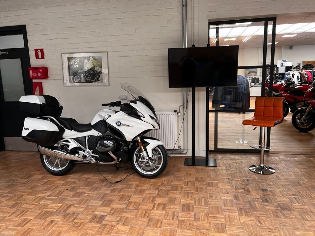
That's why I removed this..It works really nicely @Jack, I recently did an ongoing MRA workshop at the Big Biqer Day in Eindhoven, where I had this beautiful R1250RT at my disposal to demonstrate this.
-
MRA App icm BMW Connected en IOS
Sinds app versie 3.1.0 was deze informatie niet meer actueel.
Daarom heb ik dit verwijderd.MRA App in combination with BMW Connected and IOS
Since app version 3.1.0 this information was no longer up to date.
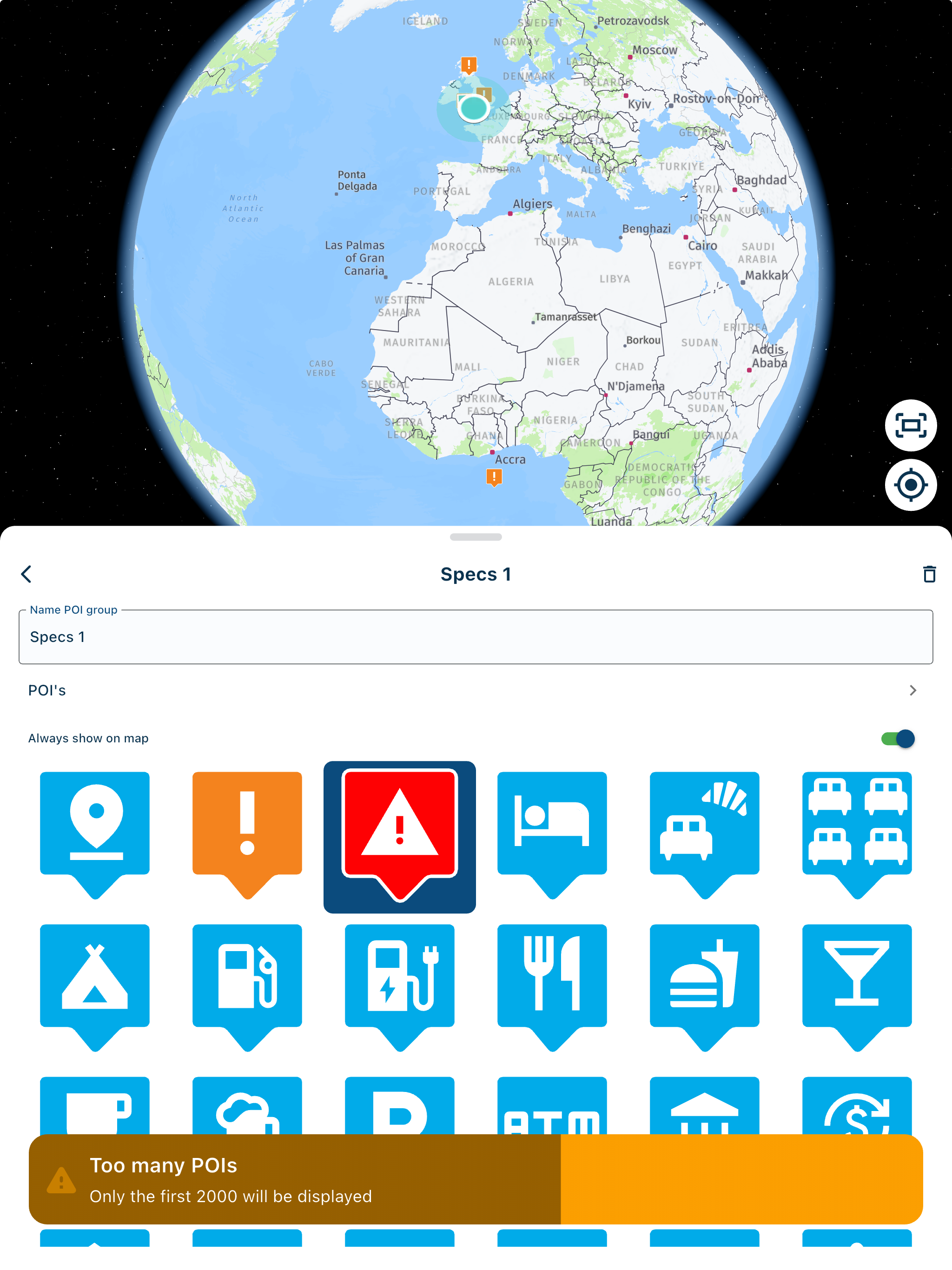
That's why I removed this..@jack-van-tilburg Any chance to get waypoints exported to TFT? I mean that waypoints are visible on TFT...
-
@jack-van-tilburg Any chance to get waypoints exported to TFT? I mean that waypoints are visible on TFT...
@spili
Unfortunately. That is not possible.
BMW Connected uses TomTom software. TomTom always makes tracks from GPX files (as far as I know). And there are no waypoints in it. -
@spili
Unfortunately. That is not possible.
BMW Connected uses TomTom software. TomTom always makes tracks from GPX files (as far as I know). And there are no waypoints in it.@jack-van-tilburg Hi Jack,
that is not 100% correct. The BMW Connect app can very well import Waypoint. MRA can currently only output support points as shaping.
These are also treated as such by the CA (Connectet App).
So they are invisible. However, the route seems to fit.
The market companion outputs the waypoints as correct ( Via ).I have looked at the differences and found that both systems use completely different syntax.
As ViaPoint in CA from Ku******.de
<wpt lat="50.111662" lon="7.206711"><name>Wein-Cafe Klering, Keltenweg, Briedern, 56820, DE</name><desc>Waypoint 20</desc><sym>Flag, Blue</sym><type>via</type></wpt>Interpreted as shaping in CA from MRA
</rtept><rtept lat="50.111634495892" lon="7.2067040205002"><name>Wine Cafe Klering, Keltenweg, Briedern, 56820, DE</name><extensions>trp:ViaPoint/</extensions></rtept>
Interpreted as shaping in CA from MRA
<rtept lat="50.111634495892" lon="7.2067040205002"><name>Wein-Cafe Klering, Keltenweg, Briedern, 56820, DE</name><extensions>trp:ShapingPoint/</extensions></rtept>In this, I recognise that the CA can very well deal with VIA as well as shaping. Let's see which of the two top dogs will find the right solution faster.
GPX output postprocessing.I myself am one of the admins of the big German Garmin group on Facebook.
BMW seems to be quietly moving away from Garmin. The last disaster with the N6
was probably one of the reasons why Tom Tom is now in the boat.
Since I can see on Facebook that many people are turning to other systems.
The BMW Cradle in particular has clearly triggered this consideration once again.
Also for me.
I currently see MRA as the only planner that comes close to Basecamp in terms of functionality.Greetings, Uwe
Hello! It looks like you're interested in this conversation, but you don't have an account yet.
Getting fed up of having to scroll through the same posts each visit? When you register for an account, you'll always come back to exactly where you were before, and choose to be notified of new replies (either via email, or push notification). You'll also be able to save bookmarks and upvote posts to show your appreciation to other community members.
With your input, this post could be even better 💗
Register Login-
1936.3k
-
0466
-
014217
-
0257
-
17438.7k
-
255613.0k
-
0948
-
04140