Travel time discrepancies
-
@Steve-Jarrell said in Travel time discrepancies:
Unless someone can show me why there are important advantages to using the HERE maps as the default I'm going to make the OSM maps my default
The biggest advantage to use HERE maps for planning is the least chance for the planner map to be different than the navigation map. The advice is to plan your route on map that is ost equal to the one you navigate with. For MRA Navigation that is HERE, as is for Garmin devices. There are many differences in maps between OSM and HERE, especially in rural mountenesque areas.
@Steve-Jarrell said in Travel time discrepancies:
the bug that causes the following dialog to appear when I switch to the OSM map or import a track into it even though I have my driving mode set to "Driving"
I am not aware of a driving mode called "driving". I only get this message when I switch from HERE or TomTom to OSM while I have "Motorbike" selected as driving mode.
@Con-Hennekens You are right. My mistake. It's called "Car" so I'm not set on Motorcycle, but I still get the message every time I switch to OSM. What driving mode are you using in your profile?
Thanks!
Steve Jarrell
Western North Carolina USLifetime Routeplanner Gold & Navigation Next
2025 BMW R1200GS
2025 Can-Am Spyder
DMD T865-X 8" Tablet
Garmin XT3 -
@Steve-Jarrell said in Travel time discrepancies:
Unless someone can show me why there are important advantages to using the HERE maps as the default I'm going to make the OSM maps my default
The biggest advantage to use HERE maps for planning is the least chance for the planner map to be different than the navigation map. The advice is to plan your route on map that is ost equal to the one you navigate with. For MRA Navigation that is HERE, as is for Garmin devices. There are many differences in maps between OSM and HERE, especially in rural mountenesque areas.
@Steve-Jarrell said in Travel time discrepancies:
the bug that causes the following dialog to appear when I switch to the OSM map or import a track into it even though I have my driving mode set to "Driving"
I am not aware of a driving mode called "driving". I only get this message when I switch from HERE or TomTom to OSM while I have "Motorbike" selected as driving mode.
@Con-Hennekens I overlooked the first part of your post. Thanks for the detailed explanation!
Steve
-
@Con-Hennekens You are right. My mistake. It's called "Car" so I'm not set on Motorcycle, but I still get the message every time I switch to OSM. What driving mode are you using in your profile?
Thanks!
@Steve-Jarrell
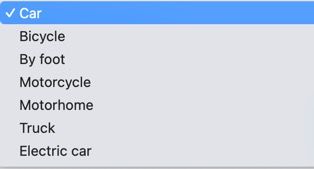
When i open de route you linked in a previous post the profile is set to motorcycle… -
@Steve-Jarrell
When i open de route you linked in a previous post the profile is set to motorcycle…@BertM  image url)
 -
@Steve-Jarrell
When i open de route you linked in a previous post the profile is set to motorcycle…@BertM Yes, I've changed it back and forth several time experimenting trying to figure out what's going on.
If you look at my previous post you'll see where I took a screenshot of my profile setting set to "Car' at the exact same time that the error message is appearing.
I even thought that perhaps MRA considered the routing mode when the route was created from the track and then ignored it from then on, however I created the route from scratch by importing a .gpx file with the mode set to Car, and as soon as I did I got the error message.
Thanks for the response!
-
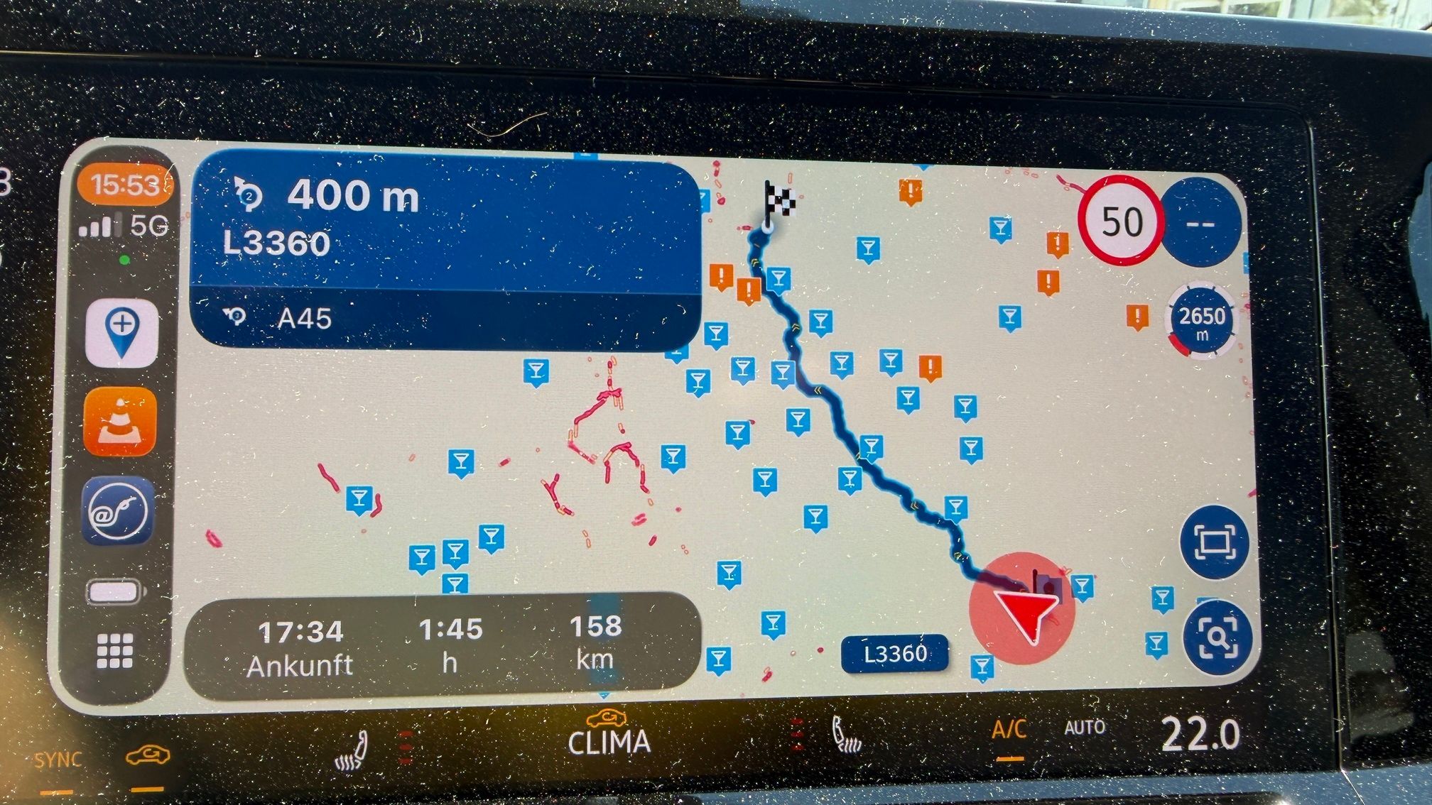
It's specifically the road after waypoint 26 that gives way longer estimates than other map sources. It's based on the realistic travel time HERE tracks for that section and my guess is that their data on that is wrong.
Either incorrect speed limit or some anomalies in their realistic travel time estimation
@Corjan-Meijerink After riding the route last Wednesday it is possible the HERE map is using information about the roads when they were really torn up after Hurricane Helene at the end of last year as some of them were still in pretty bad shape when we rode them and you could see where one lane the road had been washed completely out.
If the HERE map is using data from late last year it is likely that at that time their estimation of the time that it would take to ride this route would be accurate. Perhaps a future map update will resolve the issue. That's a very plausible explanation.
Thanks! I don't like mysteries, and I'll consider this one solved!
")
Hello! It looks like you're interested in this conversation, but you don't have an account yet.
Getting fed up of having to scroll through the same posts each visit? When you register for an account, you'll always come back to exactly where you were before, and choose to be notified of new replies (either via email, or push notification). You'll also be able to save bookmarks and upvote posts to show your appreciation to other community members.
With your input, this post could be even better 💗
Register Login-
09201
-
017363
-
14109
-
0457
-
0325
-
05113
-
0215
-
0216