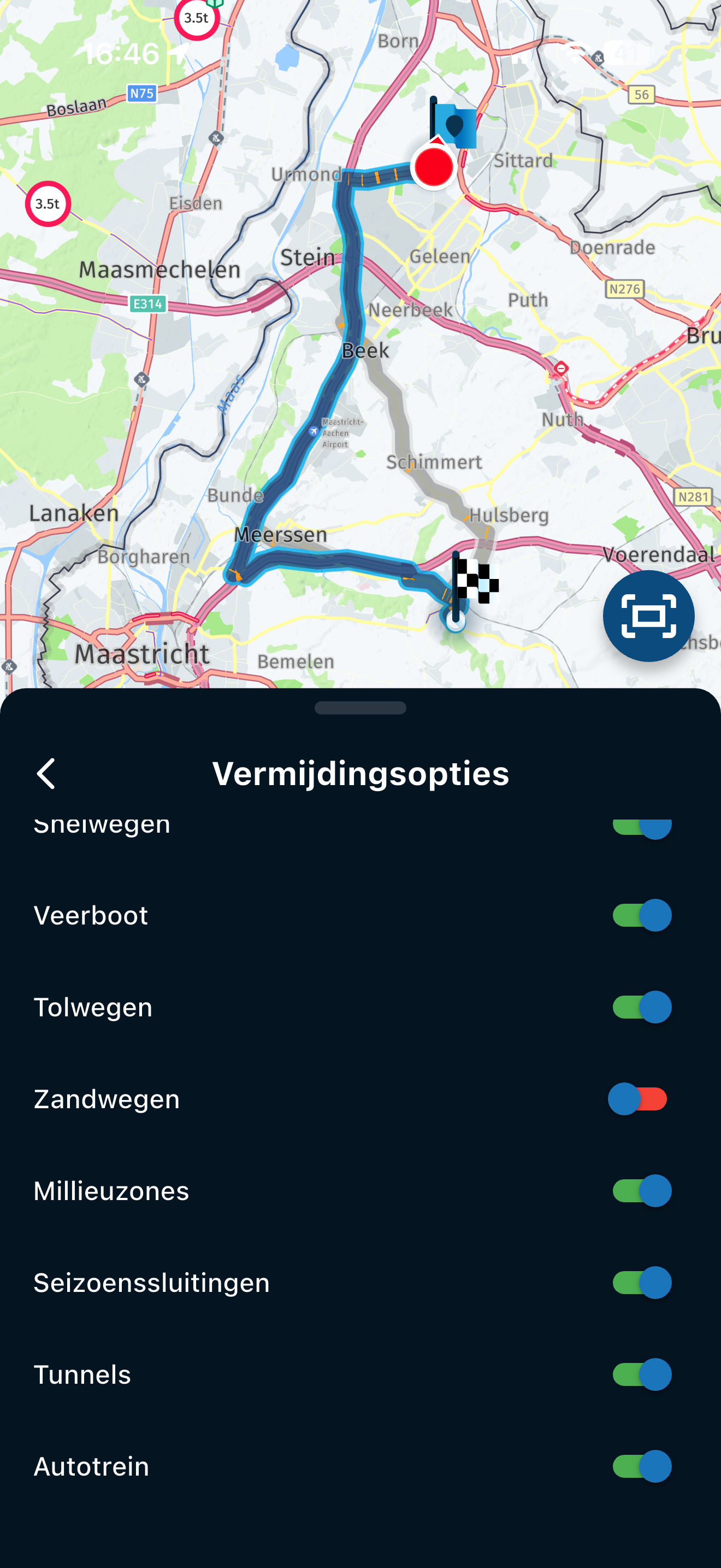
@Brian-McG said in Was sind Saisonale Schliessungen? - What are seasonal closures?:
add a switch to enable "Ignore Road Work Closures"
Since I have already experienced several blockages in the Here map (but the blockage had already been lifted), but the map material had not yet been updated, I agree with this 100%.
Google search "Map Regions" of the country you want to visit.
Plenty of sites that show you how that country is divided, they match up with the names in the MRA offline map downloads.
pick the regions you want and download.
Worked for me
@EMW-motorridders said in Functie Rondrit: Bij selectie van de rit graag linksom of rechtsom kunnen selecteren.:
Ik doe het in functie van van de zonnestand op dat uur, dat is dus verschillen of je noordwaarts rijdt dan wek zuidwaarts ( of oost of west ), De zon is je ogen is imo te vermijden.
Helemaal mee eens. Zeker in deze tijd van het jaar als de zon aan het einde van de middag/ begin van de avond laag staat is het niet prettig om er tegenin te rijden.
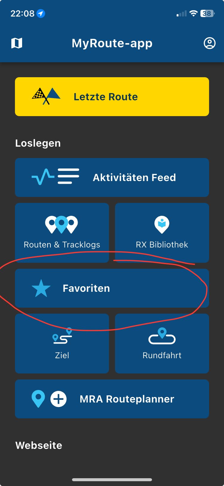
Hi @Johannes-Bergmark if you are explicitly asking about the map layer in the navigation app (the green arrow)
[image: 1755284087537-8d15387c-092e-46aa-84b6-cd88621e9d35-image.png]
As far as I understand it makes no difference to the navigation which map layer you use
The map layers in the navigation app are purely a graphic layer so you pick the one that most pleases you
I also tend to use the OSM as it has more contrasting colours & I find it easier to read,
the Here map is just a bland indecipherable grey mush
Personally i don't plan anything but on the other hand. When i ride off in the morning i already know at that moment what time i'll be back in the evening. With an accuracy of 10 minutes.
Just because my experience over the years tells me how i ride.
@Con-Hennekens exactly! At first I was a bit anxious, but now I am even testing them at the VrijMiBo and last time they were still working at 15:00. I only asked: "kann ich durch?". Antwort war "Ja, pass auf, kann noch etwas glatt sein"
@Rakesh-Rao What you're asking for isn't possible. MRA was designed to plan a route by entering where you want to go, either in the fastest way or using roads with more or less curves. It can create a circular route starting and ending at a single point, but it doesn't calculate the route as you ask
@Con-Hennekens said in Experience with MRA through Swiss Alps, Dolomites, Austrian Alps:
It is called PLANNER for a reason...
I know ... But if you dont want to stick to the plan anymore or plan a new route using your saved POI list... you have to switch to another app, unfortunately ....
@Brian-McG, it is just fun to know at what altitude you are if you pass a high point. Why is your location considered essential, and your height not? Some people even have motorbike angle info on their display. How non-informative is that...? They just like to know the info
Mine is the Goldwing OEM setup. I cannot find a setting which controls the automatic closing of this pop-up.
I recognize the message. I show on my screen also but within a second it is gone.
Why it is working for me but not for you. I do not have a clue.
Designating the city or municipality is a very good idea.
I would make the blue achetrond of the texts slightly more transparent.
I would make the round buttons ( +/- ) (➢) (⦿) (●●●) at the bottom right a bit smaller, so you see more map material.
@Rob-Verhoeff nice for you but its 5 plus 2 times scrolling down on my screen. these 2 are the most annoying ones. It would have been better already if the options for map style and map layer were a bit further on the top.
I just drove a route with different notes at Via-points. I do not use notes at shaping points nor do I have shaping points called out.
I also place a shaping point about 500 meters before a Via point. This is to prevent the notes from being read too early. So far, this works perfectly and the notes are read cleanly when I have passed the shaping point ahead. I have not experienced any problems with this yet.