-
-
-
-
-
-
-
-
-
-
-
-
-
-
-
-
-
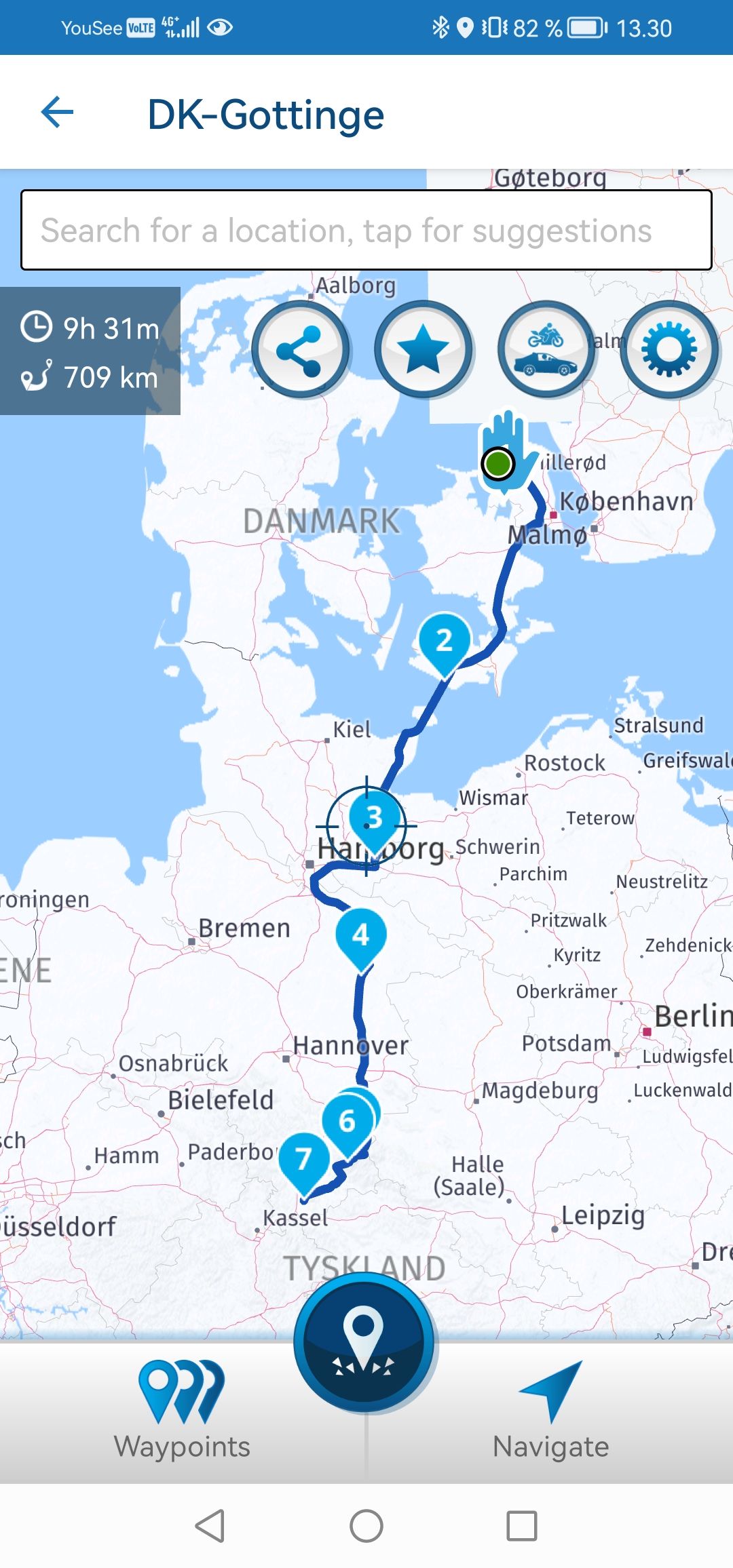
Ultra Low emission zones
Moved -
-
-
ACTIVE USERS
 undefined
 undefined
 undefined
 undefined
 undefined
 undefined
 undefined
 undefined
 undefined
undefined
undefined
undefined
undefined
 undefined
 undefined
POPULAR TOPICS
MY GROUPS
undefined
POPULAR TOPICS
MY GROUPS
Hubert Thoring
white.mouse
Kirsten De Weerd
Peter Zehentreiter
Marinus van Deudekom
Yannick_van_Vugt
Jörgen
b0hd1
Con Hennekens
Simon James Hancock
Goos Doornewaard
Steve Jarrell
Nick Carthew