Plan and navigate using OpenCycleMap (as is done by Komoot)
-

Unfortunatily in MRA navigation is based on the HERE map only. This makes it completely useless for cyclists like me that need to navigate on the (more detailed) OpenStreetMap and OpenCycleMap maps (including the so called Dutch knooppuntroutes). Lots of cyclists therefore use the great app Komoot (check it out!) that does exactly this. If MRA also include navigation based on the open street maps, it will be a killer application/ Komoot users can stop using Komoot and MRA will be the only app they need, as the supplier of MRA want to achieve. Please support my request to include navigation using open maps by leaving your comment here. Thank you.
-
Unfortunatily in MRA navigation is based on the HERE map only. This makes it completely useless for cyclists like me that need to navigate on the (more detailed) OpenStreetMap and OpenCycleMap maps (including the so called Dutch knooppuntroutes). Lots of cyclists therefore use the great app Komoot (check it out!) that does exactly this. If MRA also include navigation based on the open street maps, it will be a killer application/ Komoot users can stop using Komoot and MRA will be the only app they need, as the supplier of MRA want to achieve. Please support my request to include navigation using open maps by leaving your comment here. Thank you.

@dannygroeneveld The MRA Mobile app offers you a follow the line navigation option. This is perfect for cycling or walking. You can also use the OpenStreetMap Cycling, and it is free. No need for other apps

Always willing to help if I can.
Triumph Tiger 1200 XRT called Tina.
MRA Navigation Next and SilverFox BJ8 -
@dannygroeneveld The MRA Mobile app offers you a follow the line navigation option. This is perfect for cycling or walking. You can also use the OpenStreetMap Cycling, and it is free. No need for other apps
@Nick-Carthew thank you for reacting! What is the 'follow the line option'? It seems not documented in the manual nor on the website. Please show link to the description of that function. Also, I like to get voice support while cycling, is that also possible with the follow the line trick?
-
@Nick-Carthew thank you for reacting! What is the 'follow the line option'? It seems not documented in the manual nor on the website. Please show link to the description of that function. Also, I like to get voice support while cycling, is that also possible with the follow the line trick?
@dannygroeneveld said in Plan and navigate using OpenCycleMap (as is done by Komoot):
@Nick-Carthew thank you for reacting! What is the 'follow the line option'? It seems not documented in the manual nor on the website. Please show link to the description of that function. Also, I like to get voice support while cycling, is that also possible with the follow the line trick?
Follow the line means, you open a route and you follow the line of the route. As you progress the map and position marker will move with you. There is no voice instructions using this method because you will be using the OSM Cycling map.
-
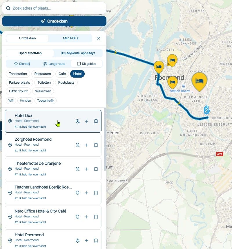
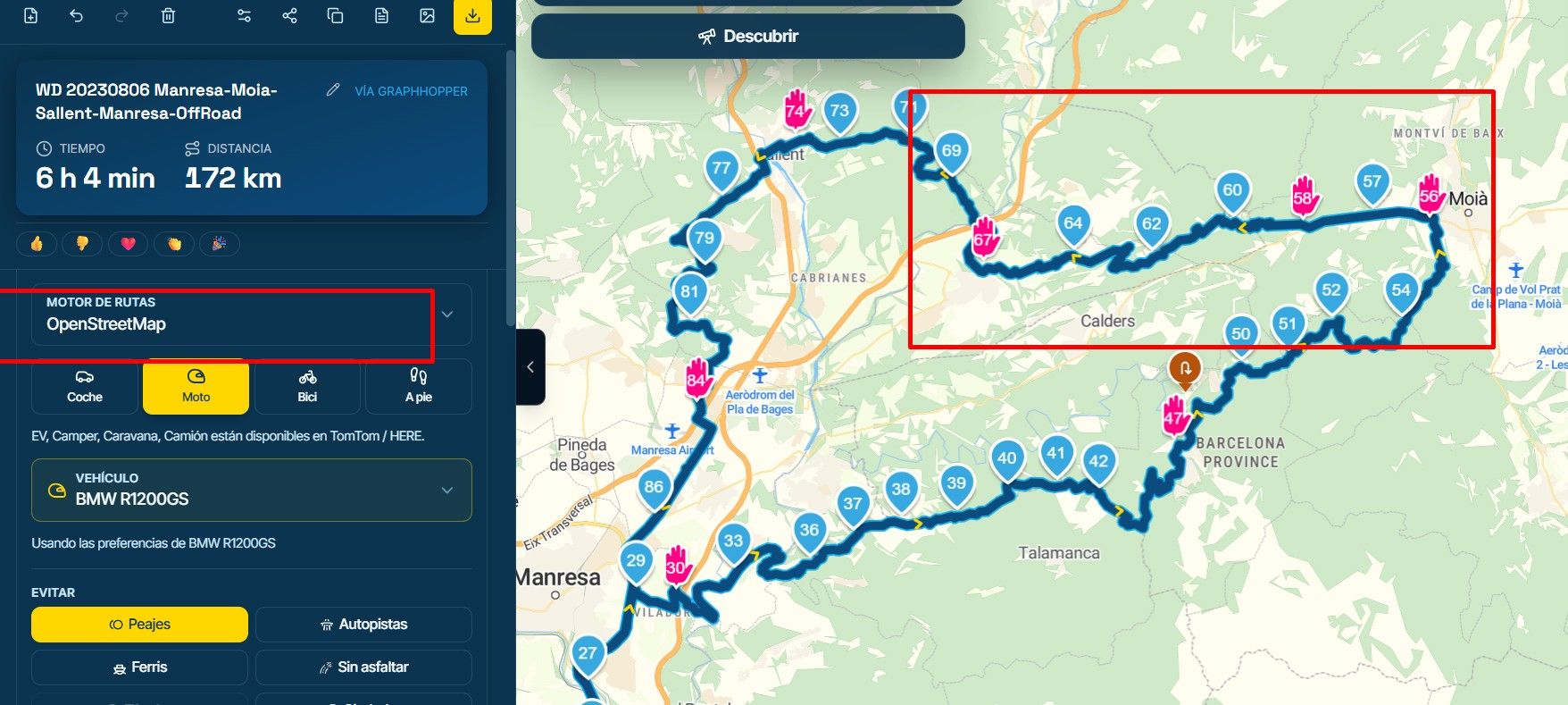
Plan your route on the OSM map.
-
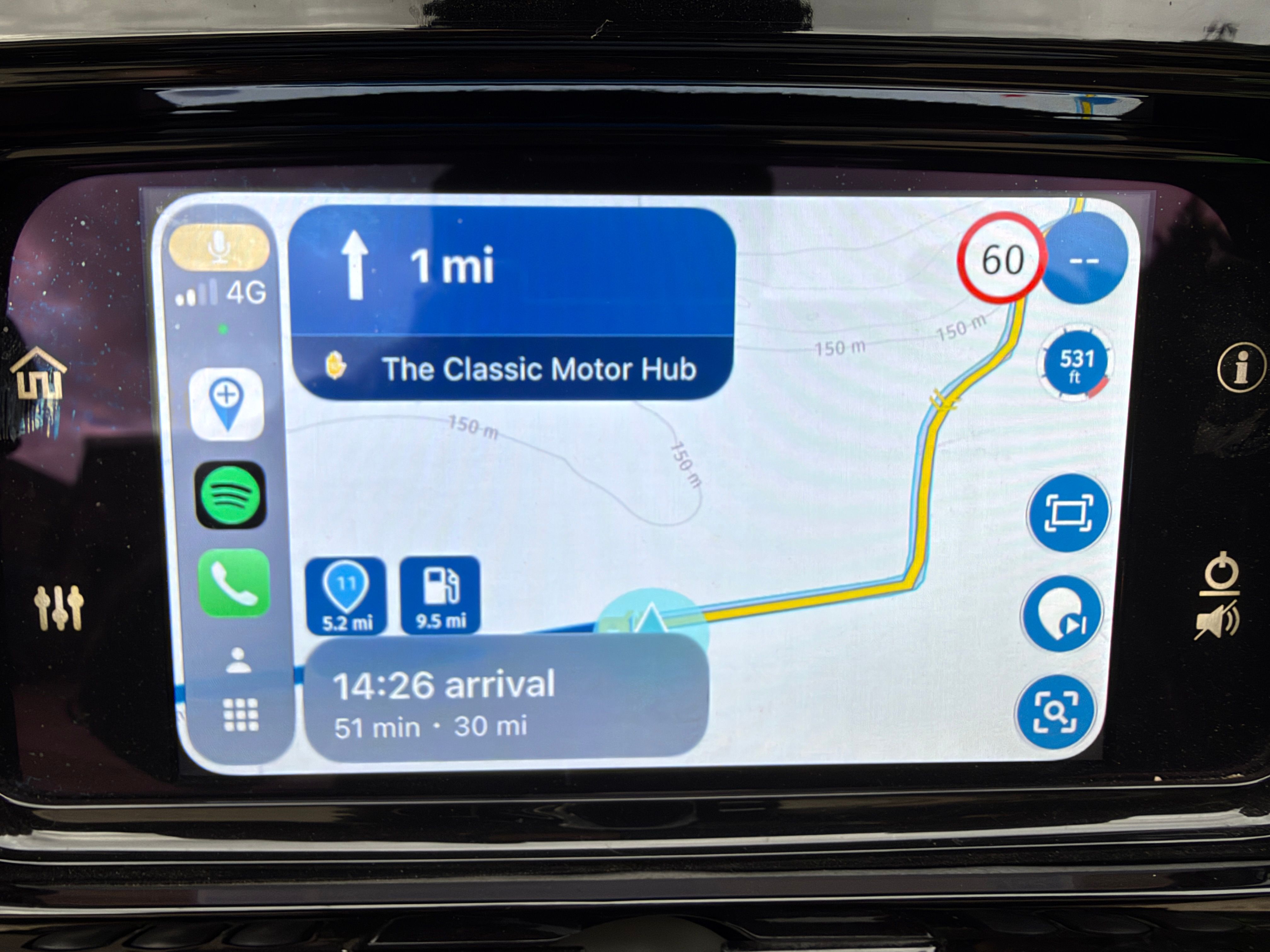
Open your route
-
Now click Open Route
-
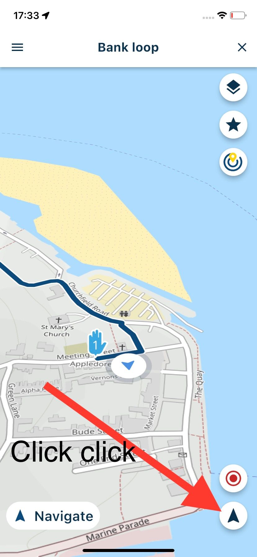
Double click the position marker so that it is an arrow
-
Now start cycling

Always willing to help if I can.
Triumph Tiger 1200 XRT called Tina.
MRA Navigation Next and SilverFox BJ8 -
-
@dannygroeneveld said in Plan and navigate using OpenCycleMap (as is done by Komoot):
@Nick-Carthew thank you for reacting! What is the 'follow the line option'? It seems not documented in the manual nor on the website. Please show link to the description of that function. Also, I like to get voice support while cycling, is that also possible with the follow the line trick?
Follow the line means, you open a route and you follow the line of the route. As you progress the map and position marker will move with you. There is no voice instructions using this method because you will be using the OSM Cycling map.
-
Plan your route on the OSM map.
-
Open your route
-
Now click Open Route
-
Double click the position marker so that it is an arrow
-
Now start cycling
@Nick-Carthew thank you for your explanation. I will give it a try......
-
-
@Nick-Carthew thank you for your explanation. I will give it a try......
@dannygroeneveld said in Plan and navigate using OpenCycleMap (as is done by Komoot):
@Nick-Carthew thank you for your explanation. I will give it a try......
I tried your suggestion and it does works. Nevertheless, the Komoot app has a number of additional features for bikers (like voice navigation, on screen info on distance to next point, speed info, real time altitude info, important: info on all road types in the route and much more. Also it is a social network, and users can easely share routes, share highlights on the road, etc. I think I will keep both apps (MRA for car and Komoor for walking and cycling).
Hello! It looks like you're interested in this conversation, but you don't have an account yet.
Getting fed up of having to scroll through the same posts each visit? When you register for an account, you'll always come back to exactly where you were before, and choose to be notified of new replies (either via email, or push notification). You'll also be able to save bookmarks and upvote posts to show your appreciation to other community members.
With your input, this post could be even better 💗
Register Login-
 0714
0714
-
 0527
0527
-
0586
-
 2424
2424
-
16145
-
 0427
0427
-
 0417
0417
-
0122.6k