Export 1.2 gpx
-
Hello, I read all the posts carefully and I am very grateful for the good tips.
I come to the conclusion that I have to choose the export variant «Garmin (GPX 1.1)».
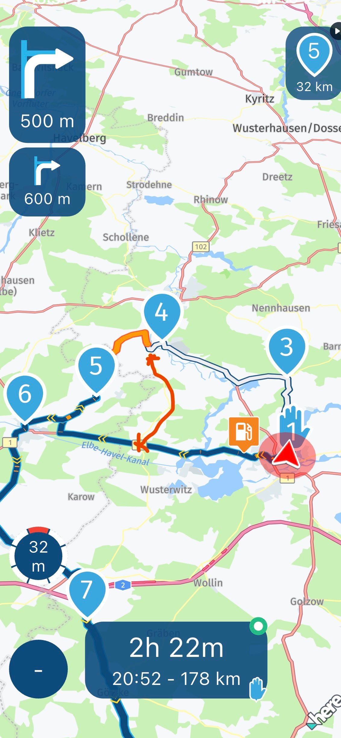
I tested it and saw that I see shapingpoints and viapoints on the Zumo XT, as desired. If I choose the export variant Garmin Zumo (GPX 1.2), I see only the viapoints.
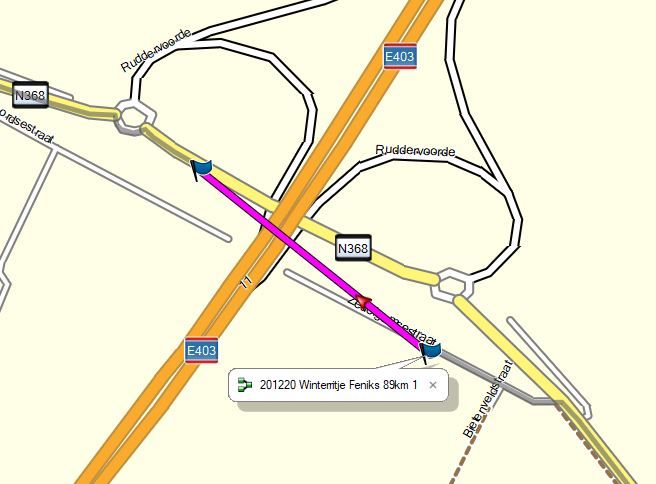
For testing, I saved the GPX 1.2 variant and opened it in Basecamp. After a recalculation of the route BC tinkers a completely wrong route - and exactly that happens in the device.
With the GPX 1.1 variant, shaping points and viapoints are present and the route follows the track exactly.
What advantage does the GPX 1.2 variant have? I see only one serious disadvantage, namely the lack of transmission and visibility of the shaping points.Hello Robert,
Gpx 1.2 is a so called inflated route. If you use the 1.2 file turn off recalculation in your Zumo.
Don’t use it in Basecamp because then you won’t get the route as planned -
Thanks for the quick reply Hans! Aha, that is a good insight. So I can assume that the route was stored correctly in the device after the export with GMX 1.2.
I will test both possibilities (1.1 and 1.2) and report. -
Thanks for the quick reply Hans! Aha, that is a good insight. So I can assume that the route was stored correctly in the device after the export with GMX 1.2.
I will test both possibilities (1.1 and 1.2) and report.@robert-bürgisser
Yes, you can assume that both files, gpx 1.1 and gpx 1.2, work correctly in the new Zumo. Make sure you transfer the files with the connector or save them as from MRA to your Zumo.
Hello! It looks like you're interested in this conversation, but you don't have an account yet.
Getting fed up of having to scroll through the same posts each visit? When you register for an account, you'll always come back to exactly where you were before, and choose to be notified of new replies (either via email, or push notification). You'll also be able to save bookmarks and upvote posts to show your appreciation to other community members.
With your input, this post could be even better 💗
Register Login-
01561
-
0511
-
3576
-
0584
-
07728
-
0582
-
0574
-
07155