MRA Nav App suitability for off road use
-
Im considering the Nav app addon to use for on and off road use, and have a few questions:
1 Can you load and follow GPX files of an off route (Like TET) and follow the route off road?
-
Can you log/record a route save as GPX route then follow it at a later date?
-
An MRA planning advice, can I plan an off route on the MRA planner?
Any advice is welcome.
Thx
-
-
I may be wrong but I would say "NO".
I trail ride, as well as road riding, and I have tried to load trails onto MRA without success.
For me Basecamp is far superior for trails/off road, but MRA is now my default for road riding. -
Im considering the Nav app addon to use for on and off road use, and have a few questions:
1 Can you load and follow GPX files of an off route (Like TET) and follow the route off road?
-
Can you log/record a route save as GPX route then follow it at a later date?
-
An MRA planning advice, can I plan an off route on the MRA planner?
Any advice is welcome.
Thx
@richard-3v @David-Martin-Sandilands
I would say the same.
MRA is excellent for on-road, but there are better alternatives for off-road. I recommend ADVHub; it is primarily intended to work with DMD2 (navigation app) and is currently in beta.
You can request access via the DMD2 discord server: https://www.drivemodedashboard.com/forums/topic/dmd2-discord-server/
Let me know if you need assistance to get this set up.
-
-
I may be wrong but I would say "NO".
I trail ride, as well as road riding, and I have tried to load trails onto MRA without success.
For me Basecamp is far superior for trails/off road, but MRA is now my default for road riding.@richard-3v Thank you, it’s as I thought, MRA need to up their game, as I use a tomtom the MRA nav os pointless for me
-
A TomTom Rider is also Not suitability for off road use.
Hardware
iPhone 12 pro (iOS 26.2.1)
iPad (7.Gen.) 18.7.3
Oukitel RT3 Pro (Andr. 14)
Wireless CarPlay mit (Elebest C650)
Wired CarPlay (SEAT Arona - 2021)
MRA Workshops in Deutsch sind hier zu finden -
@richard-3v Thank you, it’s as I thought, MRA need to up their game, as I use a tomtom the MRA nav os pointless for me
@David-Martin-Sandilands Use Kurviger.de for creating the GPX and load the <gpx in My-Route.
-
@Jörgen Exactly as I have a Tomtom rider and why I’m looking at alternatives.
-
@David-Martin-Sandilands Use Kurviger.de for creating the GPX and load the <gpx in My-Route.
@Ton-Machielsen
Kurviger for off-road? Are you sure? -
@Ton-Machielsen
Kurviger for off-road? Are you sure? -
@Martin-Wilcke That’s what I do…
@Ton-Machielsen
To recap: Your workflow is to create off-road routes/tracks with Kurviger and navigate them with MRA NN? That sounds super interesting!
Can you please share one of these as an example? I'm on MRA and Kurviger, both platforms will do. -
Bonjour à tous
la solution pour faire des itinéraires Route et Off road serait que lorsqu'on utilise la navigation avec MRA la trace apparaisse tout le temps quelque soit le routage fait par l'application . libre a chacun de suivre le routage ou la trace -
Corjan is currently working on it. Hopefully he can share an update on this topic soon.
-
Full offroad support will be quite unlikely for our navigation app.
We are however investigating the support of short offroad sections / "offroad" marked waypoints as shown in the MRA Routeplanner. -
Full offroad support will be quite unlikely for our navigation app.
We are however investigating the support of short offroad sections / "offroad" marked waypoints as shown in the MRA Routeplanner.@Corjan-Meijerink That would be a really great improvement and for most users more than enough. Glad you're working on this

-
@Ton-Machielsen
To recap: Your workflow is to create off-road routes/tracks with Kurviger and navigate them with MRA NN? That sounds super interesting!
Can you please share one of these as an example? I'm on MRA and Kurviger, both platforms will do.@Martin-Wilcke What do you want me to share? A GPX? I just create my track on Kurviger and export it as GPX into MRA. That’s all.
-
@Martin-Wilcke What do you want me to share? A GPX? I just create my track on Kurviger and export it as GPX into MRA. That’s all.
I'm curious about the "offroad capabilities" of your workflow as I've not managed to get proper results with a similar approach - neither creating a route (without using "beeline") nor navigating a track (except "follow the line visually"). That's why I'm asking.
Can you share one of your offroad routes (route-track?) here by providing a link?
-
Full offroad support will be quite unlikely for our navigation app.
We are however investigating the support of short offroad sections / "offroad" marked waypoints as shown in the MRA Routeplanner.@Corjan-Meijerink
That would help a lot! Not only for offroad purposes but also to deal with map data errors (like unknown ferries). -
I'm curious about the "offroad capabilities" of your workflow as I've not managed to get proper results with a similar approach - neither creating a route (without using "beeline") nor navigating a track (except "follow the line visually"). That's why I'm asking.
Can you share one of your offroad routes (route-track?) here by providing a link?
@Martin-Wilcke I don’t have an off road route yet, I hope to be about create on in MRA. Or extract one off the TET website
-
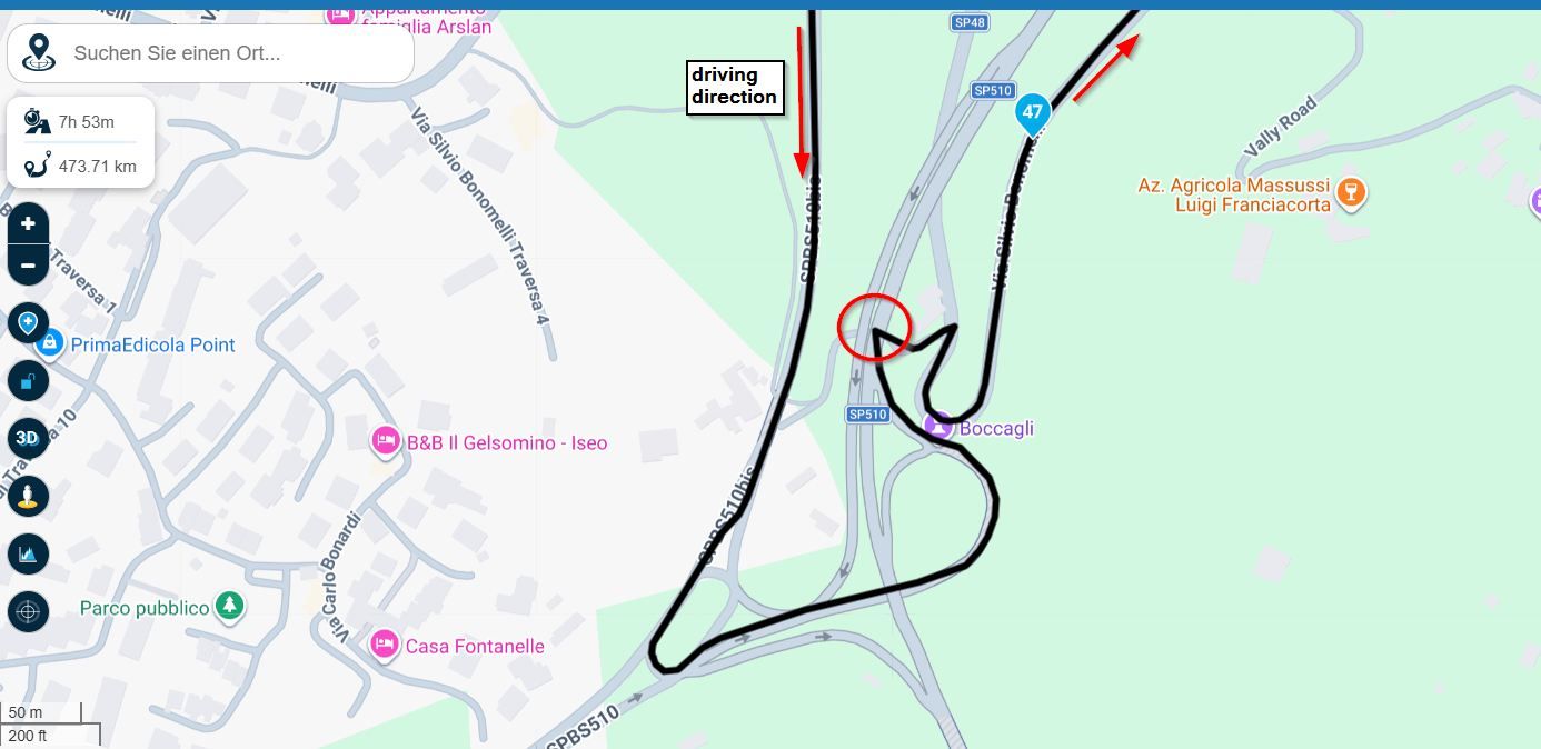
This is just an example. https://kurv.gr/dHAVv
-
This is just an example. https://kurv.gr/dHAVv
@Ton-Machielsen
Thanks for sharing - I'll have a look!
Hello! It looks like you're interested in this conversation, but you don't have an account yet.
Getting fed up of having to scroll through the same posts each visit? When you register for an account, you'll always come back to exactly where you were before, and choose to be notified of new replies (either via email, or push notification). You'll also be able to save bookmarks and upvote posts to show your appreciation to other community members.
With your input, this post could be even better 💗
Register Login-
022236
-
08113
-
019389
-
5764
-
0644
-
08173
-
012214
-
0366