26 Jan 2022, 00:32
Re: Mapping error in Horicon Marsh Wisconsin
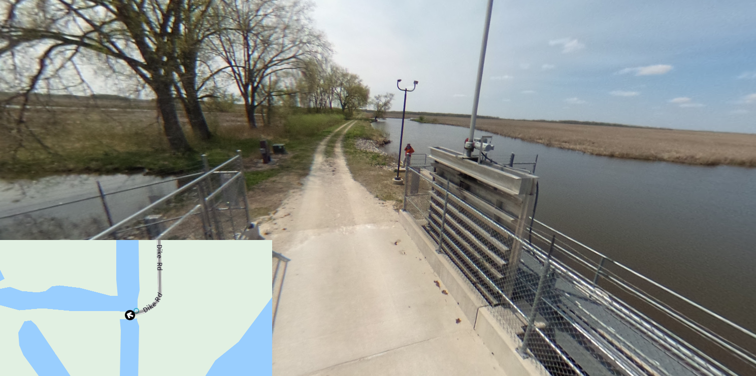
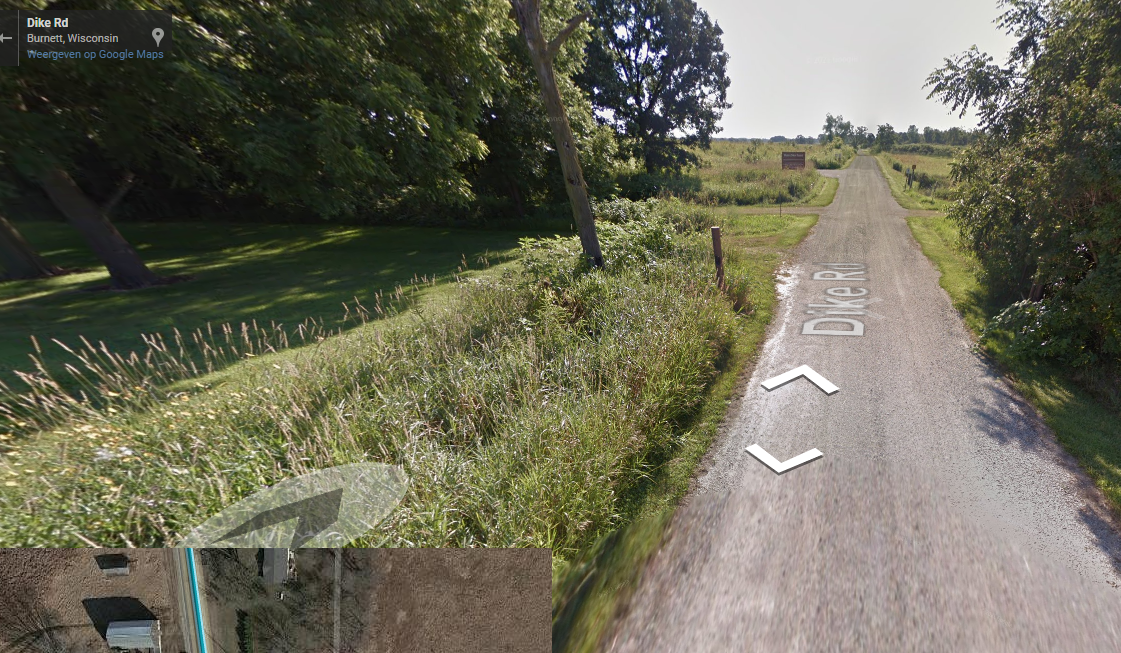
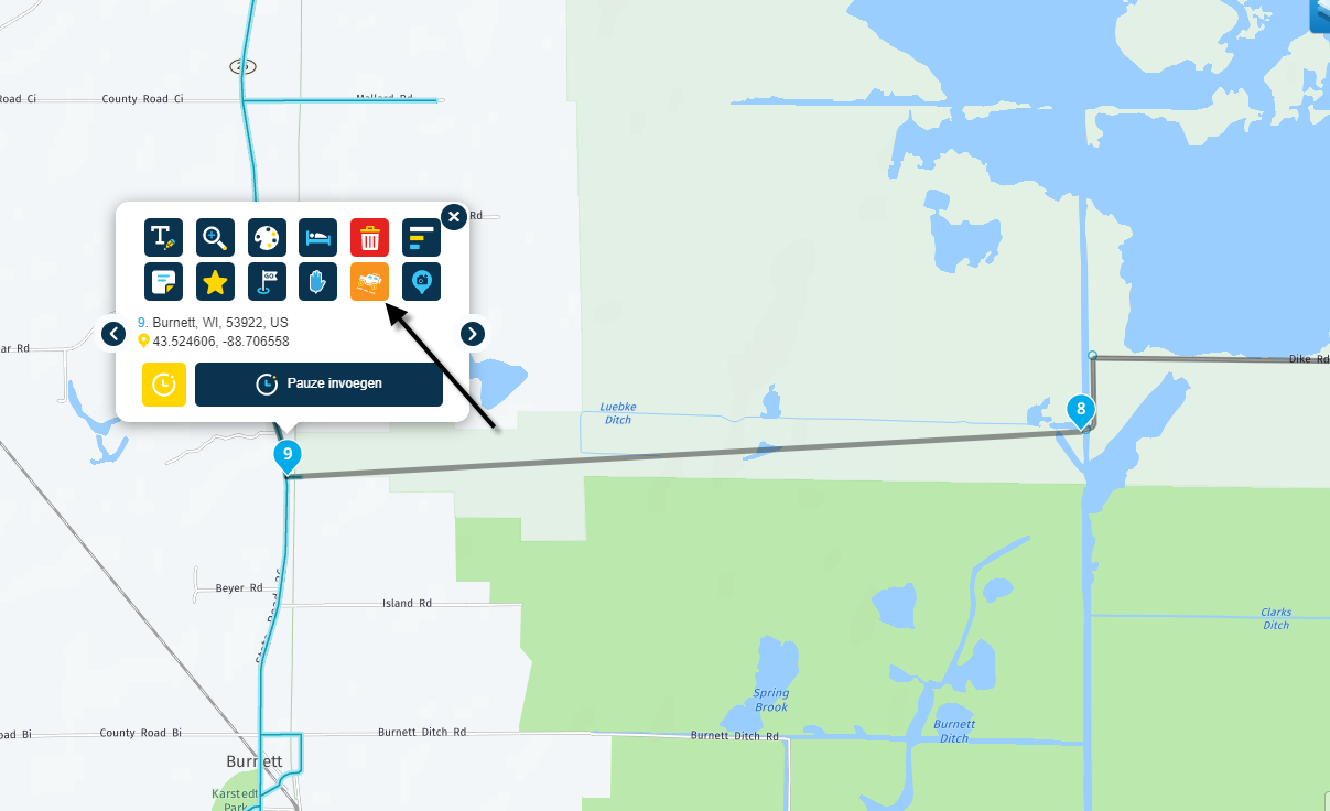
I found an error while planning a group ride through Horicon Marsh In Wisconsin. The map in MRA shows Main Dyke Road ending halfway across the marsh. The road actually continues through to Hwy 26. This can be verified by Google Maps as well as my past travels. I want the route to continue all the way to Hwy 26 then turn south. Is there a way to place a waypoint where I want to turn south on Hwy 26?