Mapping Error, Can I bypass?
-
Re: Mapping error in Horicon Marsh Wisconsin
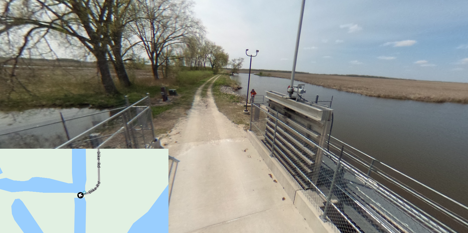
I found an error while planning a group ride through Horicon Marsh In Wisconsin. The map in MRA shows Main Dyke Road ending halfway across the marsh. The road actually continues through to Hwy 26. This can be verified by Google Maps as well as my past travels. I want the route to continue all the way to Hwy 26 then turn south. Is there a way to place a waypoint where I want to turn south on Hwy 26?
It doesn't matter what you ride, JUST RIDE!
-
Re: Mapping error in Horicon Marsh Wisconsin
I found an error while planning a group ride through Horicon Marsh In Wisconsin. The map in MRA shows Main Dyke Road ending halfway across the marsh. The road actually continues through to Hwy 26. This can be verified by Google Maps as well as my past travels. I want the route to continue all the way to Hwy 26 then turn south. Is there a way to place a waypoint where I want to turn south on Hwy 26?
Hi Tom,
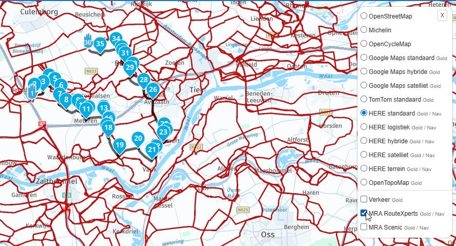
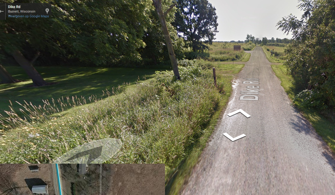
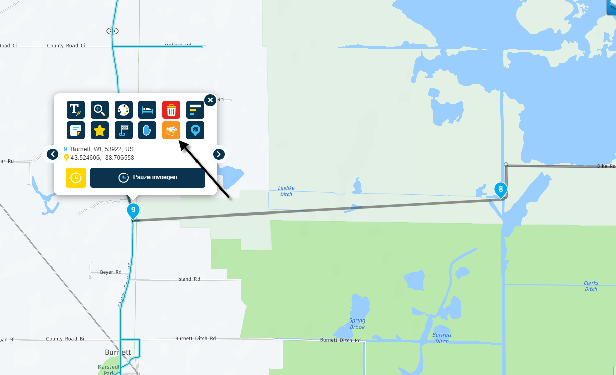
Map errors can occur, in this case it may be because it is an unpaved trail (Wild Goose State trail) and the map supplier does not classify this as a "road"
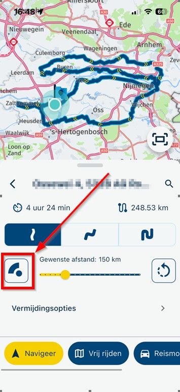
But you can continue your route. Place a waypoint at the end of Main Dyke Road and one on Hwy 26. See attachment
If you then choose the penultimate point, number 9 in the appendix, to skip the waypoint, a straight line will be drawn between points 8 and 9.End main dyke road:
Connection Hw26:
Skip waypoint:
Garmin Zumo XT3/XT2/XT/BMW Connected Ride Navigator/Tourstart/ MyRouteapp (The App)/...
Een dag niet gelachen is een dag niet geleefd / Een route is net zo goed als deze uitgezet is. -
Hi Tom,
Map errors can occur, in this case it may be because it is an unpaved trail (Wild Goose State trail) and the map supplier does not classify this as a "road"
But you can continue your route. Place a waypoint at the end of Main Dyke Road and one on Hwy 26. See attachment
If you then choose the penultimate point, number 9 in the appendix, to skip the waypoint, a straight line will be drawn between points 8 and 9.End main dyke road:
Connection Hw26:
Skip waypoint:
@hans-van-de-ven-mra-master Perfect. Thank you so much Hans!
Tom Dorcey
Spyder Owners and Ryders (SOAR)
Hello! It looks like you're interested in this conversation, but you don't have an account yet.
Getting fed up of having to scroll through the same posts each visit? When you register for an account, you'll always come back to exactly where you were before, and choose to be notified of new replies (either via email, or push notification). You'll also be able to save bookmarks and upvote posts to show your appreciation to other community members.
With your input, this post could be even better 💗
Register Login-
0898
-
0457
-
012520
-
718163
-
0230
-
06163
-
0242
-
0975