Off-road routes?
-
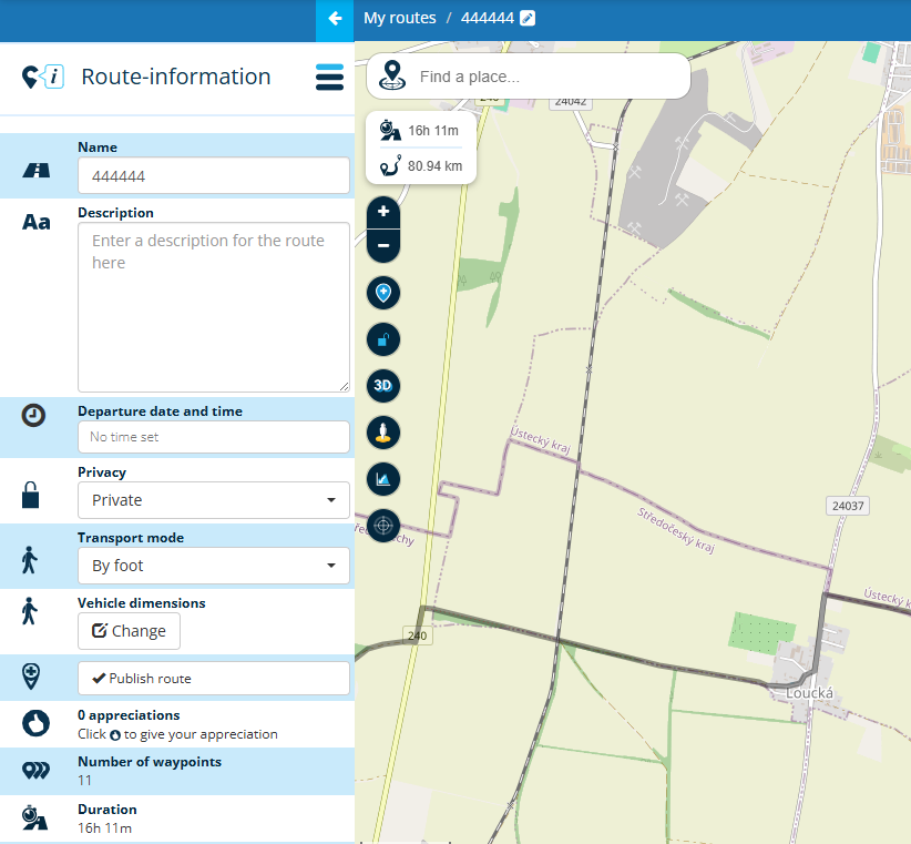
Is it possible to plan an off-road route? If so, how do you do it, because I tried but it always brings me back to "normal" roads... I don't think you can do an entire off-road route using the "off-road" function found in the pop-up of each crossing point... thus only getting straight segments from one point to another...
-
Is it possible to plan an off-road route? If so, how do you do it, because I tried but it always brings me back to "normal" roads... I don't think you can do an entire off-road route using the "off-road" function found in the pop-up of each crossing point... thus only getting straight segments from one point to another...
@Aiello-antonino ...simple answer: no.
You've already found the possible workaround: set route points as long as the route line (black) is also drawn along the path.
Then use the "off-road function" in route points, to continue to obtain a route line as a straight line "as the crow flies".
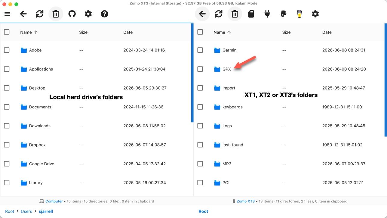
You can do this quite easily if you use the OSM map, which also shows dirt roads.However, if you later use the MyRoute-App for navigation, only the Heere map will be available. Your chosen dirt roads may not be shown on this map.
It may therefore be difficult to follow the correct path in nature if only a straight line is visible on the screen.Try it in a familiar environment. In meantime, I'm good by doing it so...
-
I use the openmapstreet layer with the setting "transport mode > by foot." For navigation on a motorcycle, I use OSMAND, because MRA recalculates it for roads. It's not perfect, but it works. I only plan in MRA because of Google Street View and the satellite layer, where I can check if the road still exists, etc. Otherwise, for offline planning, it's better to use https://osmand.net/map/, but unfortunately, there is no satellite layer there.
Best solution for offroad: www.stegra.io/map-studio/v2
@Karel76 looks like, you are experienced

Yes, I know also Stegra app.
Which device are you using fir navigation?I made very good experience with special device for offroaders from DMD; T865-X
On this Android based device, I can use MyRoute-App; mostly for ondoad and my self planned routes by MRA-Routeplanner.
Parallel, I'm using the app DMD2 from same manufacturer; it's perfect for offroad. Especially because their map contains all offroad pathes, indicated with colour codes - which helps you to decide, if your skills are good enough for this path.
Like at MyRoute-App, you can navigate offline, if you have downloaded the needed region map(s) in forefront. Swith to satellite viw is offline not applicable.I love it, to use a gpx file parallel by MyRoute-App and DMD2-App on the same device - just the best app for the current situation.
Hello! It looks like you're interested in this conversation, but you don't have an account yet.
Getting fed up of having to scroll through the same posts each visit? When you register for an account, you'll always come back to exactly where you were before, and choose to be notified of new replies (either via email, or push notification). You'll also be able to save bookmarks and upvote posts to show your appreciation to other community members.
With your input, this post could be even better 💗
Register Login-
0426.2k
-
315831
-
0121.5k
-
0344
-
110250
-
13680
-
0332
-
017558