Skip to content

Routes & Tracks

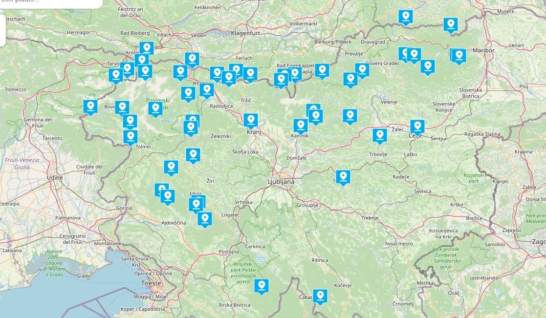
Here you can share your favorite routes & tracks for others to use

384 Topics 2.4k Posts
  • Route with fixed points

    5
    0 Votes
    5 Posts
    750 Views
    @OO-DFL Ja, dat is een mogelijkheid. Je mist bij het navigeren dan alleen de spraakinstructie! Maar door de lijn te volgen kan je wel zien welke richting je moet nemen.
  • Iron Butt - Wales / UK

    10
    0 Votes
    10 Posts
    2k Views
    I did this Iron But in April 2018 with 2 nice friends on a bike. We had also al 3 persons driving in a car for supporting with food and drinks and other medical stuf (if needed) We did Brussels - Gerona( Spain ) - Brussel. 2500 km in 36 hours, total 2626 km ( 1631,72 UK miles ) Left at 9 AM in Brussels, arrived around 1 AM the night and we slept only 5 hours in Gerona. The idea was that we would drive more KM on the first day than on the 2nd. This meant that at the Luxembourg-Belgium border we had driven 2.500 km, and as far as Brussels it was still 126 km. The discipline was to stop every 200 km to refuel, pee and get some exercise. The weather : sunshine until Lyon, then lots and always rain until Gerona and back to Lyon, only to enjoy the sun again until Brussels ( Wetstraat ). The aim is also to drive safely and avoid traffic violations. Respect the local traffic rules. Another tip : make a loop and don't drive back via the same road, it makes it less boring ! The challenge was in the context of "Komop tegen Kanker", to sponsor a cancer fund. I myself had been operated on from a severe stomach cancer and oesophageal cancer, and I also wanted to prove that there was still life after severe life-threatening surgery, including with the motorbike. I survive it for almost 8 years now. Ik heb deze Iron But in april 2018 gedaan met 2 leuke kamaraden. We hadden ook nog 3 personen rijden in een auto voor ondersteuning met eten en drinken en ander medisch materiaal (indien nodig) We deden Brussel - Gerona( Spanje ) - Brussel. 2500 km in 36 uur, totaal 2626 km ( 1631,72 UK mijl ) We vertrokken om 9 uur 's ochtends in Brussel, kwamen rond 1 uur 's nachts aan en sliepen slechts 5 uur in Gerona. Het idee was dat we de eerste dag meer KM's zouden rijden dan de 2e dag. Dit betekende dat we voorbij bij de Luxemburg-Belgische grens 2.500 km hadden gereden, en tot Brussel was het nog 126 km. De discipline was om elke 200 km te stoppen om te tanken, te plassen en wat beweging te krijgen. Het weer : zon tot Lyon, dan veel en altijd regen tot Gerona en terug naar Lyon, om dan weer van de zon te genieten tot Brussel ( Wetstraat ). Het doel en de verplichting van IB is ook om veilig te rijden en verkeersovertredingen te vermijden. Respecteer de lokale verkeersregels. Nog een tip: maak een lus en rij niet terug via dezelfde weg, dat maakt het minder saai! De uitdaging was in het kader van "Komop tegen Kanker", om een kankerfonds te sponsoren. Ik was zelf geopereerd aan een ernstige vorm van maagkanker en slokdarmkanker, en ik wilde ook bewijzen dat er nog leven was na ernstige levensbedreigende operaties, ook met de motor. Ik overleef het nu bijna 8 jaar. Vertaald met www.DeepL.com/Translator (gratis versie) Bun Burner 2500K outside USA
  • Zelf POI's maken

    5
    0 Votes
    5 Posts
    880 Views
    Dank jullie wel, echter wil ik een eigen bibliotheek maken met profielbrede eigen gekozen POIs. Ik heb niet ontdekt hoe dit moet. Wie oh wie weet dit Wederom dank !
  • Nice Routes in D-A-CH

    1
    2 Votes
    1 Posts
    352 Views
    No one has replied
  • Via punten in track

    4
    0 Votes
    4 Posts
    907 Views
    @De-Ploey-Georges Je zou twee POI's kunnen maken en deze importeren zodat ze zichtbaar zijn op je apparaat. Ik weet niet welk apparaat datje gebruikt??
  • route kan ik niet uploaden

    9
    0 Votes
    9 Posts
    2k Views
    @olaf-Scherpenisse Als je gebruikmaakt van Apple CarPlay of Android Auto, dan kan je MyRoute-App op je scherm in de auto starten en dan je routes ook benaderen. Daar heb je de USB niet voor nodig. Je moet wel een abo hebben op de module MRA Navigation Next.
  • Delete waypoints together

    2
    0 Votes
    2 Posts
    553 Views
    @FRANCISCO-BARRENA yep, that's the game so far if you speak about planning a route. This wish is on the list when the planningtool is going to be overhauld. If you want to delete several waypoint when navigating, then simply longpress the waypoint where you want to continue your route. Al the waypoints before that point will then be skipped.
  • Move routes of position

    23
    0 Votes
    23 Posts
    8k Views
    @BFG said in Move routes of position: There is a space at the beginning of the route name. The interface ignores the space, so you can't see it in the listing, but if you edit you will see that it's there. OK, you´re right, there was a space in the 3 route. Solutioned! thanks a lot!
  • Sharing routes

    2
    0 Votes
    2 Posts
    447 Views
    @Lowi64 The route’s privacy should be set to public before sharing.
  • BMW Navigator Connectet

    2
    0 Votes
    2 Posts
    507 Views
    @Anton-Lauber Route als GPX 1.1 speichern Diese befindet sich dann in Ihrem Download-Ordner Verschieben Sie die GPX-Datei in den Ordner Routes im CRN Anschließend importieren Sie die Route auf dem CRN. Oder Öffnen Sie mit der MRA-App die Route und wählen Sie dann „Download“. Wählen Sie dann „Exportieren“, dann „Teilen“ und dann die BMW Connected App
  • Find and contribute routes

    2
    0 Votes
    2 Posts
    485 Views
    Hi @Alan-Bowen. All of the routes in the MRA RouteXpert Library have been checked and certified by our own RouteXperts. This means that they will work equally well with both Garmin and TomTom devices and of course MRA Navigation Next. The RouteXpert Library is growing all the time and there are two options to add your routes to the library: You can apply to become a RouteXpert yourself and undertake a little training, or you can share your routes so that a RouteXpert can turn them into RouteXpert routes. Have a look here: https://routexperts.com/how-it-works/
  • Best precise map

    5
    0 Votes
    5 Posts
    948 Views
    @Dietmar-f In those situations it is not a matter of what is the best map but more a matter of best practice which means comparing the routes in the maps for the different devices that are used by the riders and in that way make sure that they become the same for all. Have a look in the toolkit for that. A very nice weekend to you too, of course.
  • Legend for cycle map filter

    2
    0 Votes
    2 Posts
    453 Views
    @Ben-Smy The problem with using MRA for BOAT's in the UK is that the Here Map doesnt have them all. If you are serious about riding BOAT's in the UK, I would advise that you invest in the OS Maps App. You can plan on the PC and Navigate on your Phone. [image: 1715923295389-wolvens-lane.jpg] [image: 1715923481437-screenshot_20240517_061846_os-maps.jpg]
  • 0 Votes
    1 Posts
    411 Views
    No one has replied
  • This topic is deleted!

    1
    0 Votes
    1 Posts
    2 Views
    No one has replied
  • MRA and Garmin for Dummies?

    2
    0 Votes
    2 Posts
    804 Views
    Thanks, Peter. I have the Garmin City Navigator NTU for Europe that I purchased last year before our ride around Catalunya. I updated the map last week, so, hopefully, this will be 90% consistent with the HERE planning map in MRA. The places where we really care what the route is don't have a lot of intersections, so hopefully 90% accurate will be good enough. My riding partners will all use gpx maps that I have created, and they have Zumo XTs, so I think I will follow them and hope for the best. I really am bringing my Garmin just as a last resort option. If I am in the middle of nowhere and I can't get MRA to work, at least Garmin should be able to get me back to the hotel with a direct route. Fingers crossed, anyway. Yes, my zumo 396 is five years old. I have been reluctant to spend the $500 - $600 US for a Zumo XT, plus I would have to buy another map for Europe since Garmin will not let me transfer the map from my 396. I have been hoping that MRA will mature along with the Android Auto devices and I can retire Garmin. I think the technology is not yet stable enough for that, today, though. Good idea to put basecamp on the laptop! I was hoping I was done wrestling with Basecamp, but you are right that it is probably the most reliable way to see what is happening with a Garmin map and getting it on my Zumo 396. I think I have figured out how to mount the Garmin on the rental bike using a Ram claw and a finger grip Ram phone mount. The hardest part was power -- there is no room to plug a USB power cable into the back of the Garmin when it is on a generic RAM mount. I got creative with a saw, though, and made some room! Thanks again, Vinnie
  • Track met viapunten GPX naar MRA Route

    9
    0 Votes
    9 Posts
    1k Views
    @Leo-Klein said in Track met viapunten GPX naar MRA Route: @Stefan-Hummelink weet dat Track anders is dan route Uiteraard.
  • HERE gebieden

    5
    0 Votes
    5 Posts
    770 Views
    @Stefan-Hummelink Je blijft jezelf verbazen
  • This topic is deleted!

    1
    0 Votes
    1 Posts
    2 Views
    No one has replied
  • Condivisione Percorso

    2
    0 Votes
    2 Posts
    595 Views
    @Vikings-Bikers Se salvi un percorso come in TomTom MyDrive, devi inserire i dettagli della password del tuo account TomTom, secondo le regole che TomTom ha impostato per questo
ACTIVE USERS POPULAR TOPICS MY GROUPS