Map viewing options
-

With the features available in the new overlays (including tilt and zoom), the overlay maps from the old planner are no longer that useful. The Michelin map is still available, by the way! The old overlays don't offer any additional functionality beyond what is already available in the planner. Since these are now vector maps, you can also zoom in indefinitely.
-
And sometimes it is just about preference. OpenTopoMaps and Google Terrain give me a much better impression of the terrain/landscape/altitude then the maps/overlays in routeplanner next do.
No longer having OpenTopomaps available will make me consider other products again.
And to me endless zooming is a weak argument. Very weak.
-

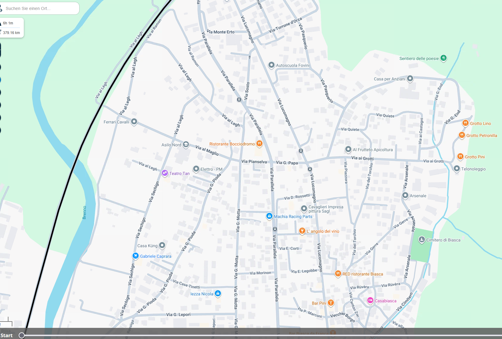
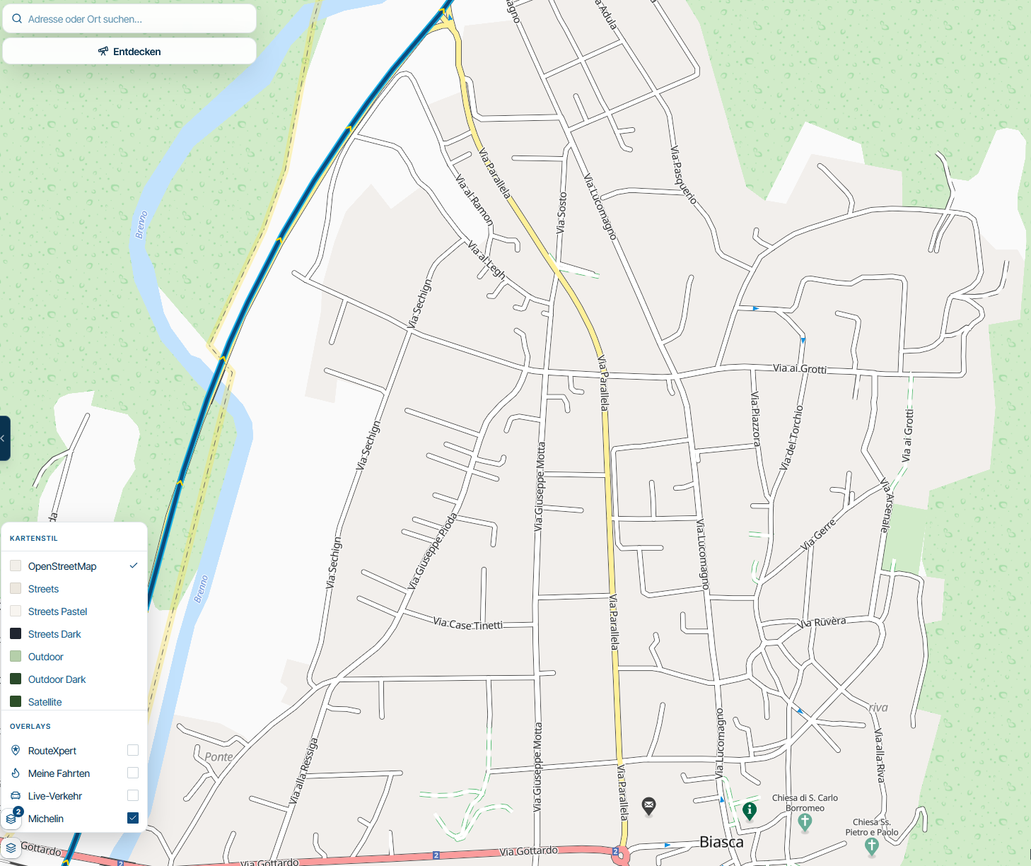
I also think that the OSM maps provide too little information. There’s simply no comparison, regardless of which zoom level you’re on in OSM. What’s more, with OSM you’d have to zoom in so close that you could no longer see the route.
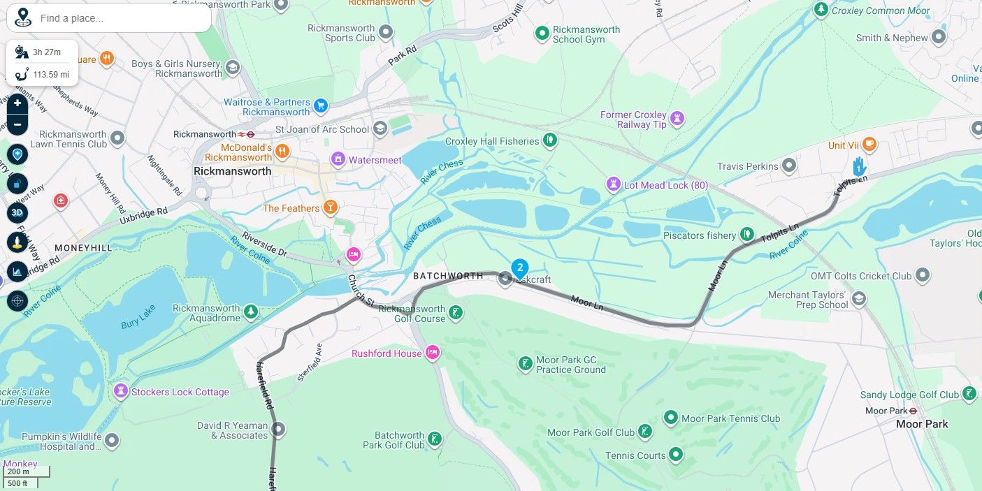
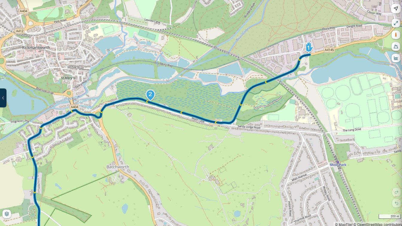
Here’s a section of the same route, showing OSM, Michelin and Google Maps. The information is practically non-existent!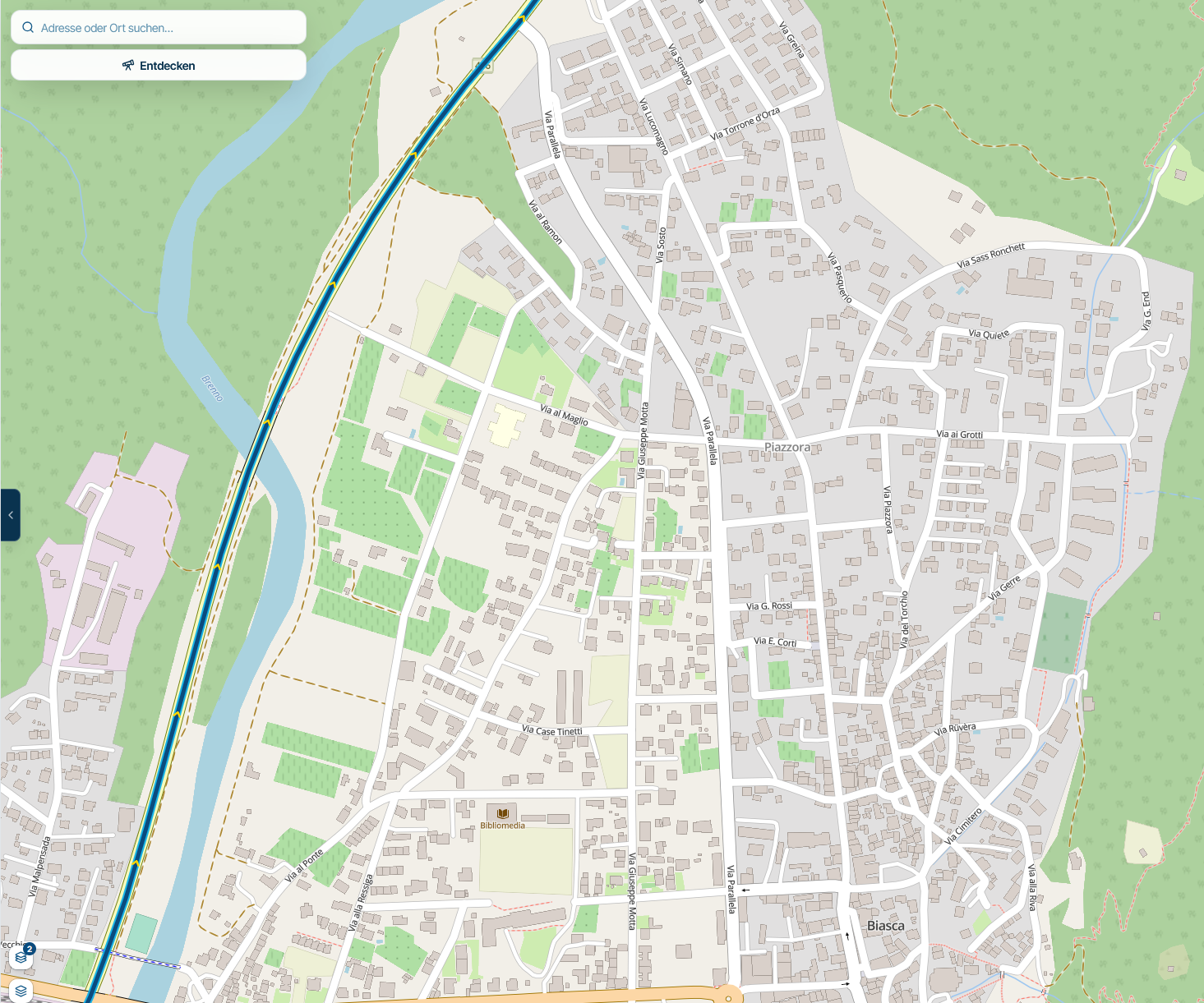
-
I think this post addresses your comments. That's what the beta is for, after all.
-

i also lean towards the wish to have google maps overlay available.
Current map is not up to date enough.
For example : pension der tourstop is not shown on current mapsunfortunately i'm not available to upload a printscreen with beta account?
Am Waldschlößchen 3, 38685 Langelsheim-Lautenthal, Duitsland
-
Parantapa referenced this topic

Hello! It looks like you're interested in this conversation, but you don't have an account yet.
Getting fed up of having to scroll through the same posts each visit? When you register for an account, you'll always come back to exactly where you were before, and choose to be notified of new replies (either via email, or push notification). You'll also be able to save bookmarks and upvote posts to show your appreciation to other community members.
With your input, this post could be even better 💗
Register Login-
 018100
-
 117135
-
015109
-
 01186
-
2758
-
 0769
-
0751
-
0751