unpaved road
-
is there a way to create a route where unpaved or gravel is preferred? Something like stegra.io which can generate a route on 70% unpaved road. thanks
-
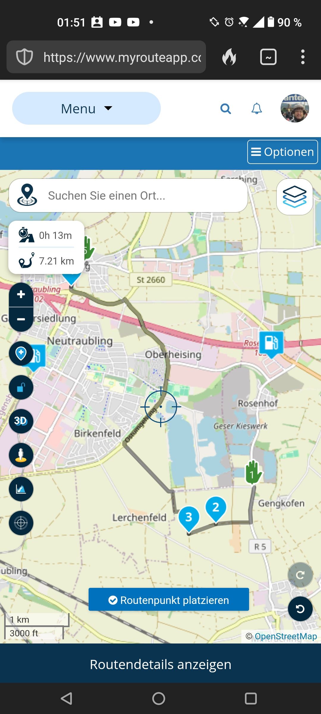
@Karel76 I believe, currently MRA Routeplanner is made for routing on paved routes. But I use it also by some workaround for my offroad trips: You can use OSM map and set waypoints on gravel roads. Because the system will not draw the route line on map in such situation, you need to change the type of the WP to "skip" - the icon with the offroad car. This will draw the route line in direct (over air).
During the ride, you need to watch the road and the map on the screen to be sure to ride still the right road (for this part).
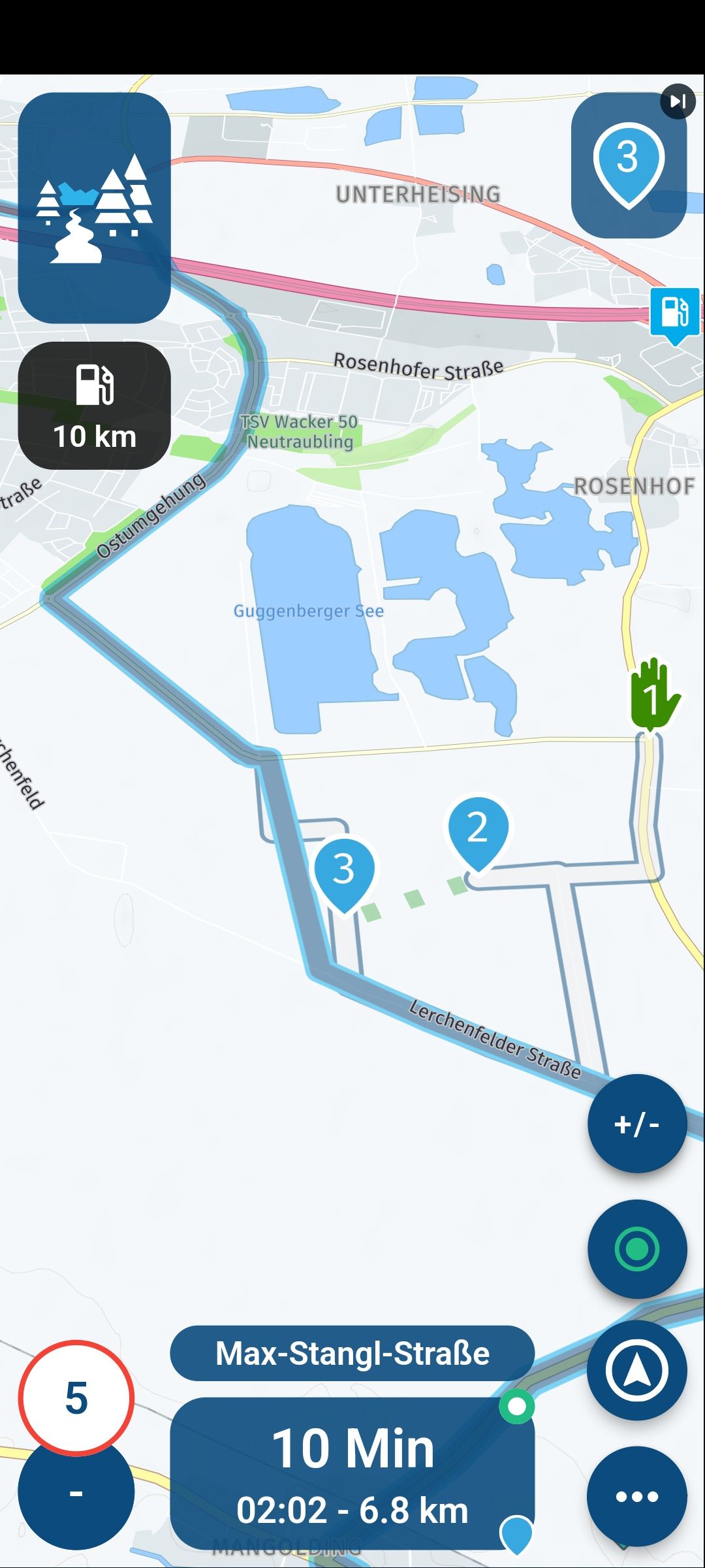
I belive, it would be the better idea to create a track for this (part) of unpaved road - instead of a route. If you later would use MyRoute-App for navigation - instead of a Garmin or TomTom - the App can route (guide) you also by a track instead of routing by a route. At the offroad-part, you will see a white line on screen which is following the unpaved road. As well as the blue route line, which is folliwing parallel any paved road to the next possible Waypoint.
-
Thank you for your reply. I'm planning short routes like this too. I am preparing a trip in Spain (TET about 5000km) and MRA is basically not usable,because it keeps recalculating the whole route on the road. Unfortunately I will probably have to subscribe to another service,because in MRA the TET route is almost impossible to do and customize.
@Karel76 in MyRoute-App, there is a switch to deny recalculating the route during navigation. And it would be a good Idea, to split the 5000 Km TET in shorter stints per day
")
And again: the easiest way is, to import the TET track and use it direct. Not converting in route. MyRout-App can navigate (and advise you) also by using a track!
Hello! It looks like you're interested in this conversation, but you don't have an account yet.
Getting fed up of having to scroll through the same posts each visit? When you register for an account, you'll always come back to exactly where you were before, and choose to be notified of new replies (either via email, or push notification). You'll also be able to save bookmarks and upvote posts to show your appreciation to other community members.
With your input, this post could be even better 💗
Register Login-
71267.4k
-
19323
-
010414
-
027587
-
0277
-
021646
