Adding Toilets as a POI
-
Where can I find a file with UK toilets listed on it, and then add them as POI’s on the map so that I can then add a waypoint nearby.
Thanks -
Where can I find a file with UK toilets listed on it, and then add them as POI’s on the map so that I can then add a waypoint nearby.
Thanks@TelBoy-0 Here is a link for a csv file for UK Toilet POIs Save it to your computer and then use the Upload tab and choose to upload as POI. https://drive.google.com/file/d/1qv5OgJ4tN9UYGEfqM6u6d8KPoqHlNzrE/view?usp=drive_link
-
@Nick-Carthew Hi Nick, thanks for that, worked a treat


-
Do we perhaps also have a similar POI file for the Netherlands and maybe also for Germany and Belgium?
met een R1250RT met TFT
en BMW Connected Ride App(die dus nog steeds niet voldoet!) ;
de Garmin Zumo XT en M.R.A. in combinatie met de Carpuride W702 (voor Android op de Motor!) en een Samsung Galaxy S24 -
Do we perhaps also have a similar POI file for the Netherlands and maybe also for Germany and Belgium?
@white.mouse You could search in this website:
https://www.pocketgpsworld.com/tomtompoi.php -
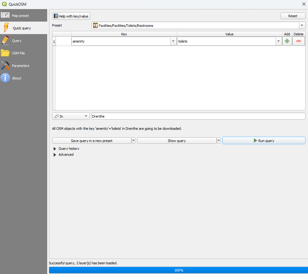
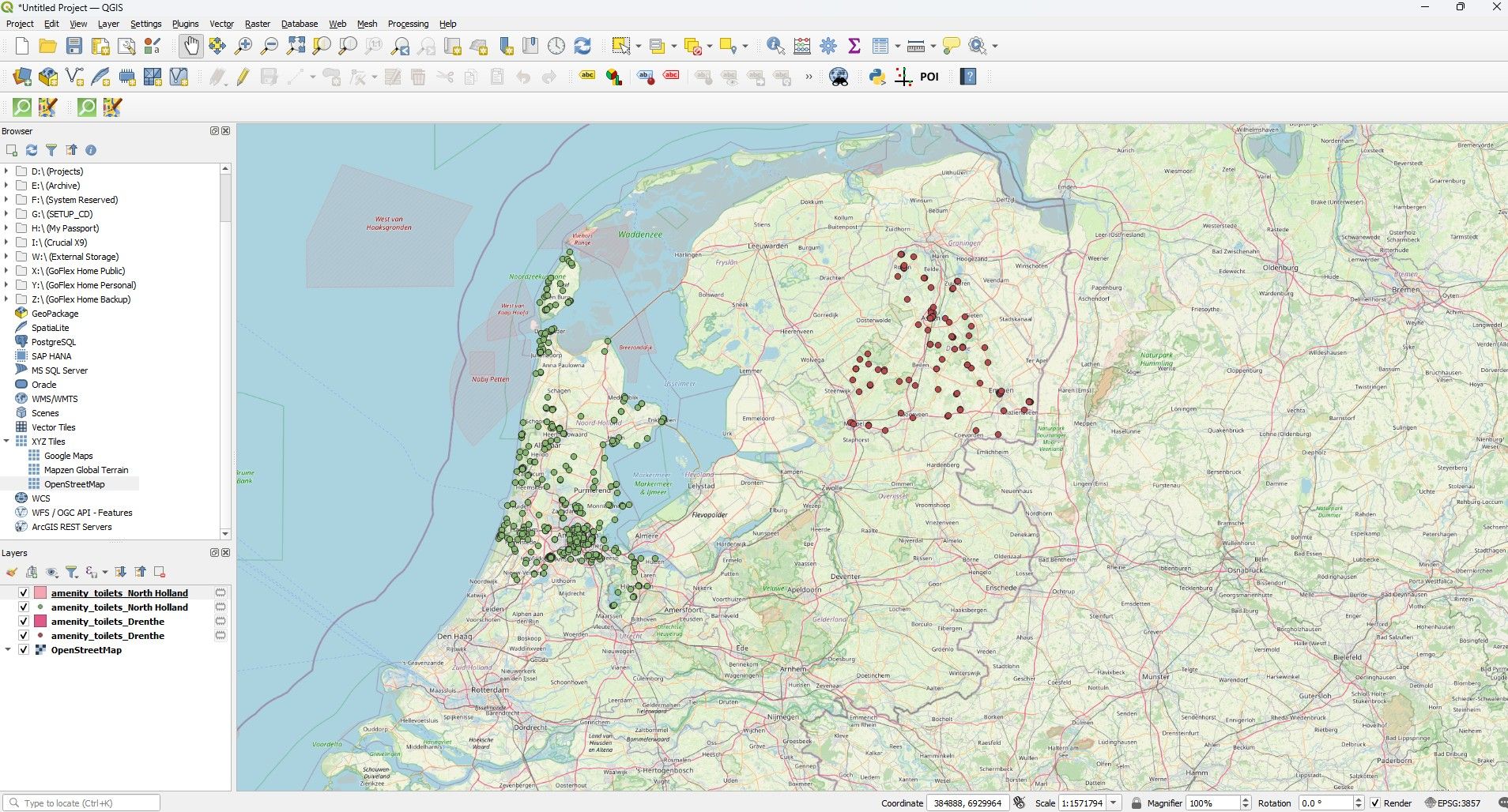
You can harvest them off Open Street Map data using QGIS and the Quick OSM add in. Then export them to a GPX file using the QGIS POI exporter.
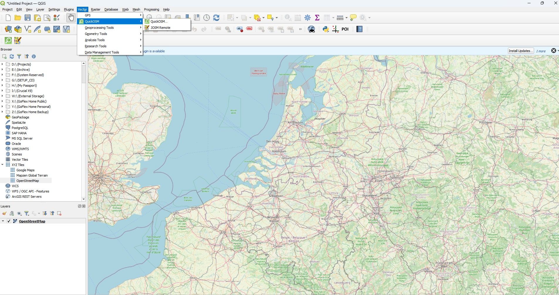
There are too many in the Netherlands and Germany for one query so divide the query into administrative areas.
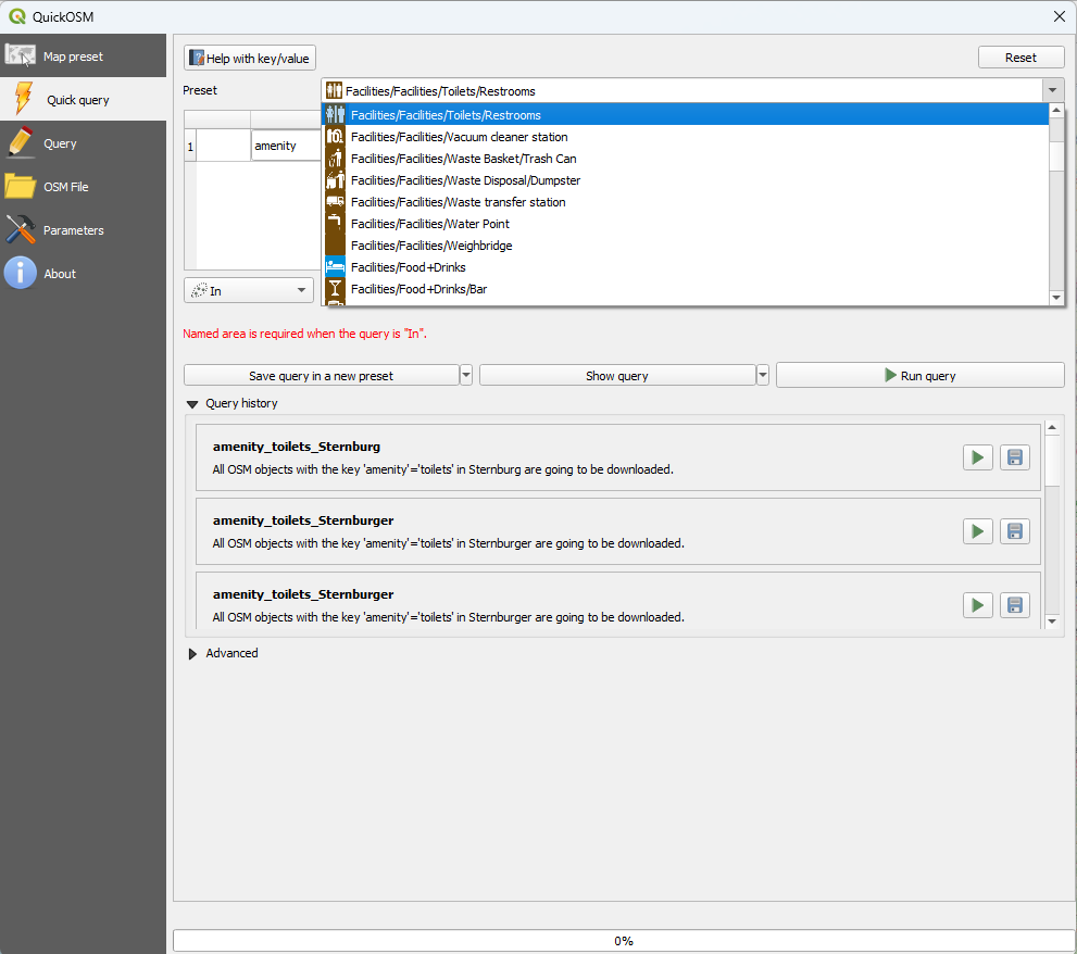
So for the Netherlands a Query for Drenthe and North Holland.
The results
This is one I created for the Great Britain and Ireland
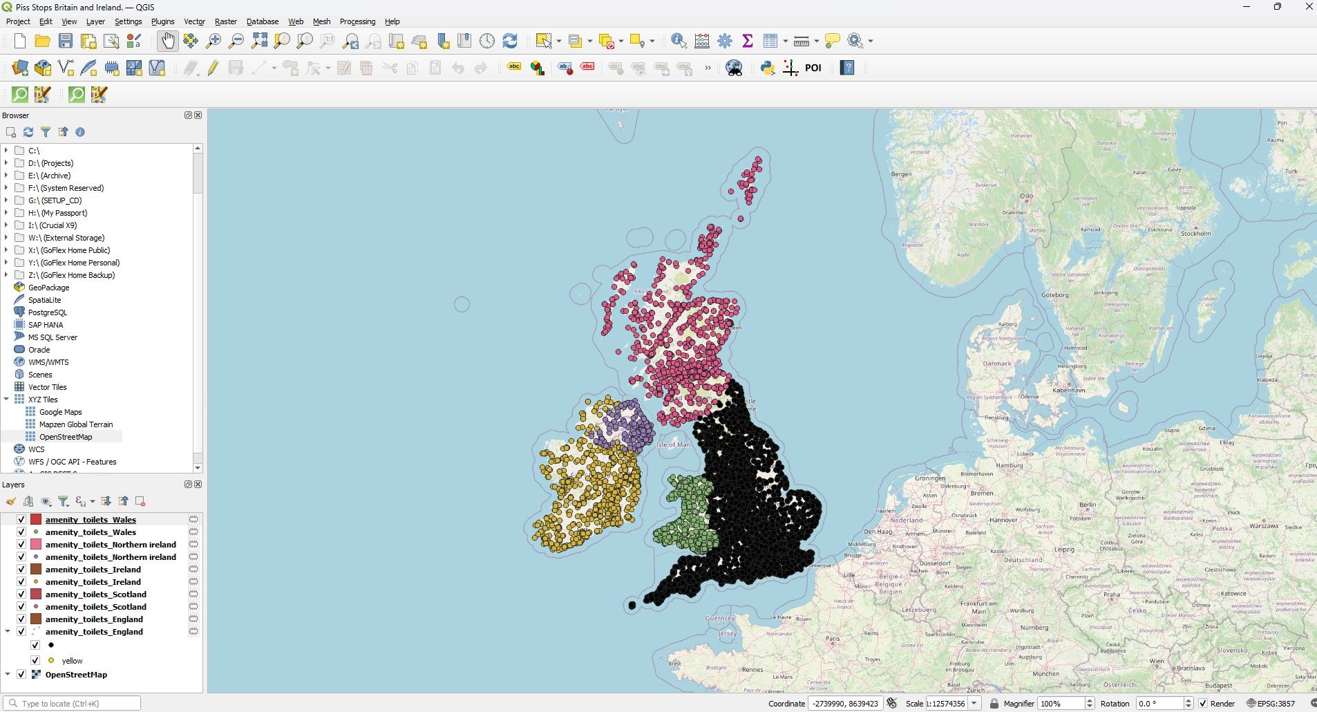
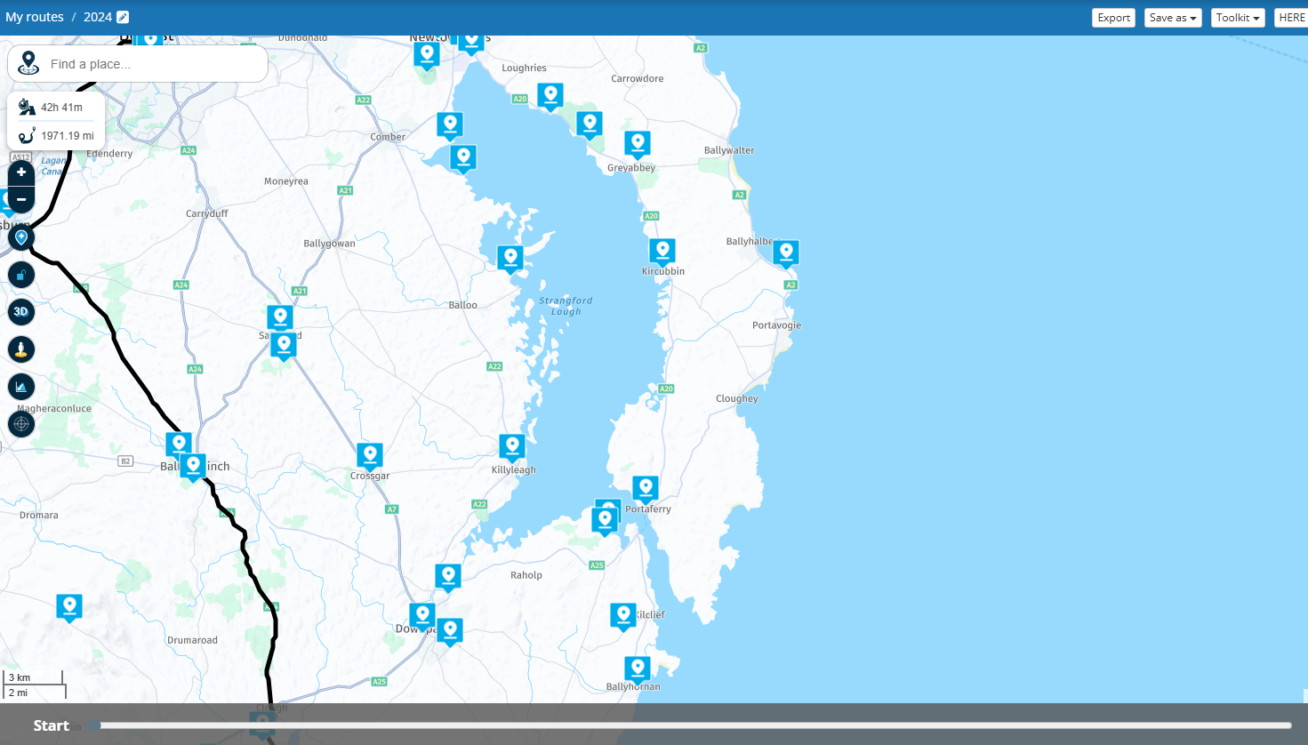
And what it looks like as a POI upload. This has to be manipulated as the field data for MyRoute POI's is limited to Long Lat and Field name.
Personally I load these POI's into my Garmin XT via Garmin POI loader with an audible proximity warning of 0.5 miles even though I predominantly use MyRoute app for navigation.
Hello! It looks like you're interested in this conversation, but you don't have an account yet.
Getting fed up of having to scroll through the same posts each visit? When you register for an account, you'll always come back to exactly where you were before, and choose to be notified of new replies (either via email, or push notification). You'll also be able to save bookmarks and upvote posts to show your appreciation to other community members.
With your input, this post could be even better 💗
Register Login-
220219
-
0888
-
2795
-
0749
-
04187
-
08339
-
0784
-
618504
