Option to use openstreetmap in the future?
-
Hello MRA team,
I noticed a topic from about two years ago about the use of openstreetmap in the navigation app. It was at that time not possible nor planned. Is this still the case for Navigation Next?C/
-
Hello MRA team,
I noticed a topic from about two years ago about the use of openstreetmap in the navigation app. It was at that time not possible nor planned. Is this still the case for Navigation Next?C/
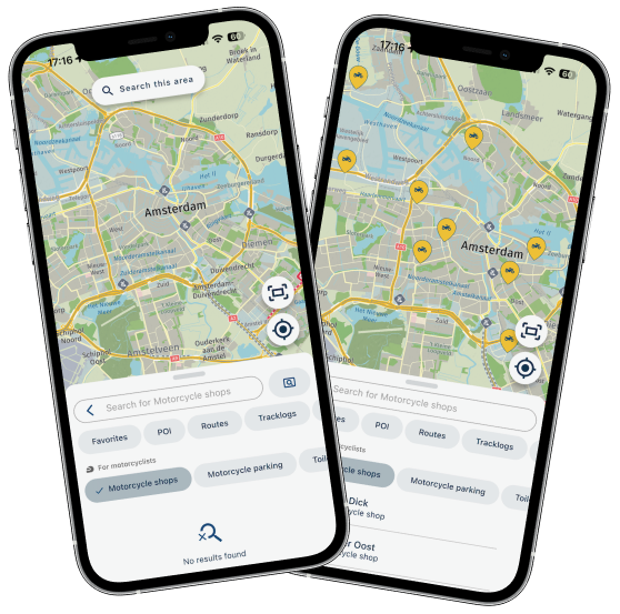
@Chera-Bekker Correct. The OSM map will not be usable in the Navigation module. Within the Mobile app itself, you can use this map!
As soon as you start turn-by-turn navigation, the HERE map will be used automatically
")
-
@Chera-Bekker Correct. The OSM map will not be usable in the Navigation module. Within the Mobile app itself, you can use this map!
As soon as you start turn-by-turn navigation, the HERE map will be used automatically
@Corjan-Meijerink just for my curiosity, why did you choose the HERE maps for navigation and not OSM?
-
@Corjan-Meijerink just for my curiosity, why did you choose the HERE maps for navigation and not OSM?
@Chera-Bekker Because OSM does not have the technical support (SDK) for our chosen development stack (Flutter)

-
@Chera-Bekker Because OSM does not have the technical support (SDK) for our chosen development stack (Flutter)
@Corjan-Meijerink Understand this but will we have an option for different colour layouts etc as the current HERE version is not good in daylight (my perspective) as I would like more contrast in colours like the OSM versions of the map layers?
Kind Regards. Help where I can.
Ducati Multistrada V4 Rally
iPhone 15 Pro
CHIGEE AIO-6 LTE
Google Pixel 6 Pro - mounted on SP Connect Plus
Ex Garmin XT2 and XT1 as well as Ex TomTom Rider User -
@Corjan-Meijerink Understand this but will we have an option for different colour layouts etc as the current HERE version is not good in daylight (my perspective) as I would like more contrast in colours like the OSM versions of the map layers?
@Dave-J-0 Yes, definitely! More styles will be added later. Starting off with a dark mode map
-
@Dave-J-0 Yes, definitely! More styles will be added later. Starting off with a dark mode map
@Corjan-Meijerink Brilliant. Looking forward to this.
-
@Chera-Bekker Correct. The OSM map will not be usable in the Navigation module. Within the Mobile app itself, you can use this map!
As soon as you start turn-by-turn navigation, the HERE map will be used automatically
@Corjan-Meijerink will there be another way to navigate the openstreet map route? I think that the best "kronkel routes" are made on openstreet, but we lose the route when I turn on navigation. Also it doesn't give the same route if I make more navigation points in another map.
Maybe there is a way to export the openroutefile to a mra-navigation supported file?
For me the "kronkelroutes" was the reason to become a gold member.
-
@Corjan-Meijerink will there be another way to navigate the openstreet map route? I think that the best "kronkel routes" are made on openstreet, but we lose the route when I turn on navigation. Also it doesn't give the same route if I make more navigation points in another map.
Maybe there is a way to export the openroutefile to a mra-navigation supported file?
For me the "kronkelroutes" was the reason to become a gold member.
@Florens That will eventually also work in Next!
The development is scheduled for much later in the year.You can convert an OSM generated curvy route-track to a route (with waypoints). This can be navigated with the app
 But yes...this is way to cumbersome
 -
@Florens That will eventually also work in Next!
The development is scheduled for much later in the year.You can convert an OSM generated curvy route-track to a route (with waypoints). This can be navigated with the app
But yes...this is way to cumbersome @Corjan-Meijerink The OSM has also the option to use route segments with different routing options per segment. How will HERE deal with those segmented routes? Do we need to add a lot of waypoints to make sure that HERE will not be able to deviate?
-
@Corjan-Meijerink The OSM has also the option to use route segments with different routing options per segment. How will HERE deal with those segmented routes? Do we need to add a lot of waypoints to make sure that HERE will not be able to deviate?
@Chera-Bekker We aim to make HERE routes fully compatible with segments such as in OSM
Please do note that this is scheduled way in the future.
-
 undefined CD130 referenced this topic on
Hello! It looks like you're interested in this conversation, but you don't have an account yet.
Getting fed up of having to scroll through the same posts each visit? When you register for an account, you'll always come back to exactly where you were before, and choose to be notified of new replies (either via email, or push notification). You'll also be able to save bookmarks and upvote posts to show your appreciation to other community members.
With your input, this post could be even better 💗
Register Login-
1113176
-
021311
-
014381
-
08145
-
71065.5k
-
0343
-
1975
-
06290